The B2B platform for the best purchasing descision. Identify and compare relevant B2B manufacturers, suppliers and retailers
Close
Filter
Result configuration
Continents
Select continent
Locations
Result types
Company type
Select company type
Industries
Select industry
Company status
Select company status preset
Number of employees
Min.
Max.
Founding year

Aves Drone Services, LLC
Loganville, United States
B
1-10 Employees
2018
Key takeaway
Aves Drone Services specializes in providing professional aerial photos and videos, making them a key player in the drone services industry in Georgia. Their expertise highlights the diverse applications of aerial production for both professional and commercial use.
Reference
Service
Services – Aves Drone Services
GeoDrones
Even Yehuda, Israel
B
1-10 Employees
2015
Key takeaway
GeoDrones offers cost-effective and high-quality drone services for aerial photography, precision agriculture, remote sensing, and mapping. Their use of state-of-the-art equipment and experienced, certified pilots ensures they can meet the diverse needs of their customers.
Reference
Service
Services | GeoDrones

Drones Toronto
Canada
A
- Employees
-
Key takeaway
Drones Toronto offers a range of services including sales, repairs, and flying services for the UAV community, making it a valuable resource for those interested in drone services. They also provide free training with all consumer units.
Reference
Service
Drones Toronto
Looking for more accurate results?
Find the right companies for free by entering your custom query!
25M+ companies
250M+ products
Free to use
Drone For Hire
Modesto, United States
B
11-50 Employees
2010
Key takeaway
Drone For Hire (DFH) specializes in providing comprehensive and customized drone services, focusing on aerial data acquisition and processing using small Unmanned Automated Systems (UAS). Established in 2010, DFH offers cost-effective solutions that cater to various commercial applications.
Reference
Core business
Drone For Hire - End-to-end drone solutions
End-to-end drone solutions
Drone As A Service
Dublin, Ireland
A
1-10 Employees
-
Key takeaway
DaaS is a leading drone service company that specializes in providing aerial surveillance and mapping solutions, enabling businesses to collect and analyze data more effectively. Their state-of-the-art unmanned aerial vehicles (UAVs) enhance operational efficiency, reduce costs, and support informed decision-making through innovative drone technologies.
Reference
Service
Services - Drone as a Service
Drone All Services Work Smarter with Drone Data Unmanned Aerial Vehicles (UAVs), commercially called drones, can improve the efficiency and effectiveness of your business activities and undertakings. UAVs can reduce project costs by allowing more access to challenging situations and capturing high volumes of accurate data in less time. UAVs reduce risks and provide real-time […]
Lone Drone Solutions Inc.
Kitchener, Canada
A
1-10 Employees
2016
Key takeaway
The company is a certified and insured expert in drone services, offering a wide range of applications including asset inspection, mapping, and disaster response. With recent approval to operate in the UK and partnerships with professionals across various sectors, they ensure compliance and safety in their operations.
Reference
Core business
Professional Drone Services
Leading Canadian Drone Services Experts. Internationally Certified & Insured. Providing RPAS Services & Drone Data Collection. Drone & UAV Services Include Asset/Infrastructure Inspection, Mapping/Surveying, Disaster Response, Marketing, Renewable Energies, Confined Space Inspection, Con
Aerialsolutions
Belgium
A
1-10 Employees
-
Key takeaway
Aerialsolutions is a key distributor of DJI Enterprise drones and other prominent brands, emphasizing its commitment to providing suitable RPAS drone solutions for industrial, SME, and government applications.
Reference
Service
Service - Professional Drones | DJI Enterprise
Airview Drone Services
Sydney, Australia
A
1-10 Employees
2013
Key takeaway
Airview Drone Services prioritizes the safe operation of their drones and has established a robust network of trusted operators across Australia. They utilize the latest drone technology to deliver high-quality photography and video services, catering to various clients, including creative agencies and construction companies.
Reference
Service
Services — Airview Drone Services
DroneHive
-
1-10 Employees
2016
Key takeaway
DroneHive is a premier provider of drone services, specializing in aerial data collection. They manage certified pilots, ensure compliance, and deliver real-time, accurate data, enhancing efficiency and safety for various industries.
Reference
Core business
Drone Service Provider, Aerial Data Collection, UAS Services | DroneHive
DroneHive is the leading drone services provider for aerial data collection. We enable you to make better operational decisions with ease
Elevo
Wellington, New Zealand
A
1-10 Employees
2015
Key takeaway
Elevo is a certified drone operator in New Zealand, offering data-driven drone services for various industries, including infrastructure, agriculture, and environmental sectors. With a focus on providing quick and cost-effective visual assessments of elevated assets, Elevo integrates drone data with ground surveys to deliver detailed imagery and analysis.
Reference
Core business
Elevo Commercial Drone Services
Elevo Commercial Drone Services
Technologies which have been searched by others and may be interesting for you:
A selection of suitable products and services provided by verified companies according to your search.

Service
Drone Inspecions
Go to product
A selection of suitable use cases for products or services provided by verified companies according to your search.

Use case
Facade Inspection
Building Maintenance
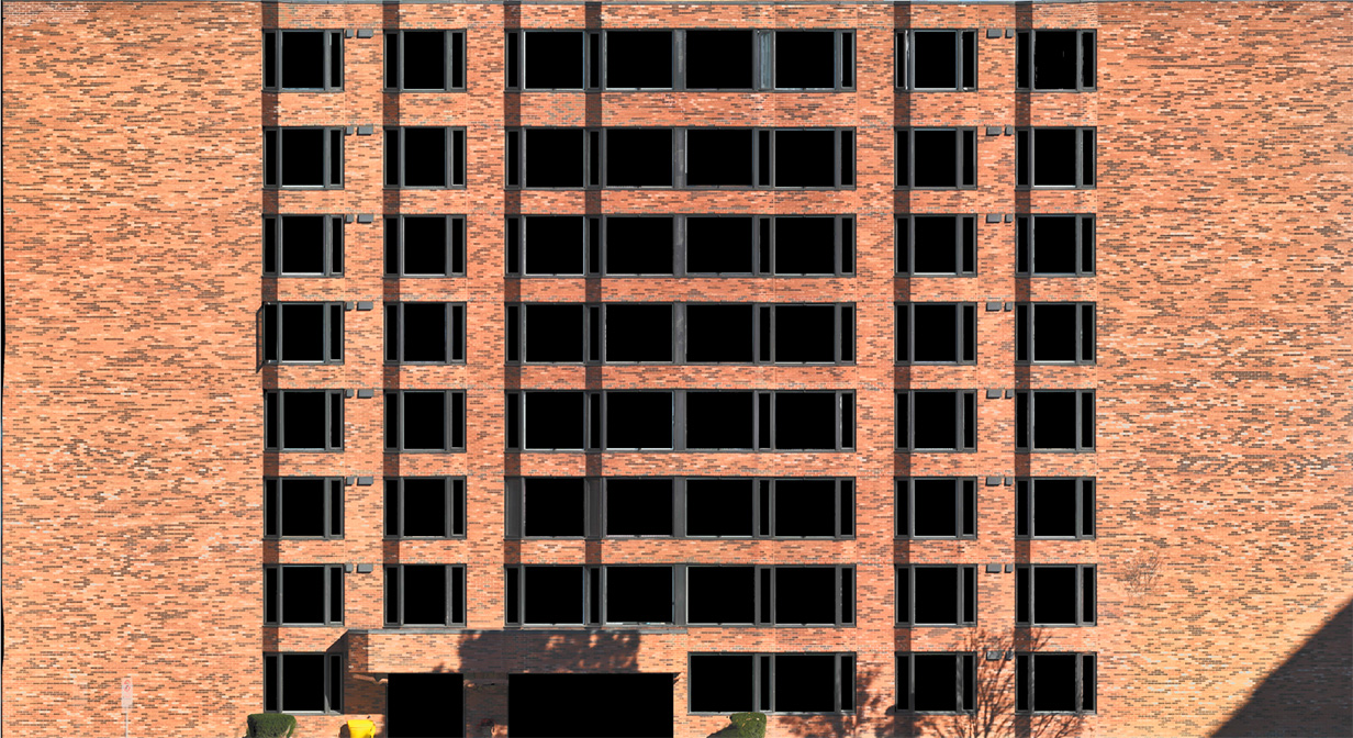
Facade Building Inspections Detailed Visual Inspection: High resolution imagery provides clear evidence of current conditions, from weathering to structural concerns. Thermal Imaging Analysis: Identify heat leaks or insulation failures unseen by the naked eye with precise thermal imaging techniques. 3D Mapping & Modeling: Create accurate 3D models for better analysis and planning during renovation projects or condition monitoring over time. Custom Reports & Analytics: Receive tailored reports highlighting critical findings with actionable insights based on comprehensive data analysis.
Drone services refer to a range of professional applications that utilize unmanned aerial vehicles (UAVs) for various tasks. These services are employed across multiple industries, including agriculture, construction, real estate, and film production. Drones can capture high-resolution aerial imagery, conduct surveys, monitor crops, inspect infrastructure, and provide real-time data analytics, enhancing operational efficiency and accuracy. The technology behind drone services has advanced significantly, allowing for automation and remote operation. This has made them invaluable for tasks that are either too dangerous or time-consuming for humans. With the integration of advanced sensors and cameras, drone services can deliver insights that drive decision-making and improve project outcomes.
1. Cost Efficiency
Utilizing drone services can significantly reduce operational costs for businesses. Drones can perform tasks such as aerial surveys, inspections, and deliveries much faster than traditional methods, leading to lower labor costs and decreased project timelines.
2. Enhanced Data Collection
Drones provide high-resolution imaging and real-time data, improving the accuracy of information gathered for various applications. This enhanced data collection aids in decision-making processes, whether for agricultural monitoring, construction progress tracking, or environmental assessments.
1. Agriculture
Drone services are widely utilized in agriculture for crop monitoring, precision farming, and aerial spraying. Farmers leverage drones to gather data on crop health, optimize resource use, and increase yields.
2. Construction
In the construction industry, drones assist in site surveying, project monitoring, and progress documentation. They provide real-time data, enabling better project management and reducing the time needed for inspections.
3. Real Estate
Real estate professionals use drone services for aerial photography and videography, showcasing properties from unique perspectives. This technology helps in marketing properties more effectively by providing potential buyers with stunning visuals.
4. Energy
The energy sector employs drones for inspections and monitoring of infrastructure such as power lines and wind turbines. Drones enhance safety and efficiency by accessing hard-to-reach areas while minimizing downtime.
5. Environmental Monitoring
Drone services play a crucial role in environmental monitoring by capturing data on wildlife, vegetation, and natural resources. They support research efforts and help organizations assess the impact of climate change and human activities.
The costs associated with drone services can vary significantly based on several factors, including the type of service required, the complexity of the project, and the geographical location. For basic aerial photography or videography, prices may start from a few hundred dollars for short sessions. More specialized services, such as surveying or mapping, can range from $1,000 to $5,000 or more, depending on the area size and data analysis required. Additionally, ongoing costs may include maintenance of the drones, insurance, and regulatory compliance. These factors contribute to the overall pricing structure of drone services, making it essential for clients to discuss their specific needs with providers to obtain accurate quotes.
Drone services are subject to various regulations that ensure safety and compliance in airspace usage. In many countries, the aviation authority sets rules governing the operation of drones, including registration requirements, pilot certifications, and operational limits. For instance, in the United States, the Federal Aviation Administration (FAA) regulates drone operations under Part 107, which mandates that commercial drone operators obtain a Remote Pilot Certificate. Additionally, regulations often dictate where and when drones can be flown, such as restrictions on flying near airports, populated areas, or sensitive locations like military bases. Compliance with privacy laws is also essential, as drone services must respect individuals' privacy rights when capturing images or videos. Understanding and adhering to these regulations is crucial for drone service providers to operate legally and avoid penalties.
Some interesting numbers and facts about your company results for Drone Services
| Country with most fitting companies | United Kingdom |
| Amount of fitting manufacturers | 6209 |
| Amount of suitable service providers | 10000 |
| Average amount of employees | 1-10 |
| Oldest suiting company | 2010 |
| Youngest suiting company | 2018 |
20%
40%
60%
80%
Some interesting questions that has been asked about the results you have just received for Drone Services
What are related technologies to Drone Services?
Based on our calculations related technologies to Drone Services are Big Data, E-Health, Retail Tech, Artificial Intelligence & Machine Learning, E-Commerce
Which industries are mostly working on Drone Services?
The most represented industries which are working in Drone Services are IT, Software and Services, Aviation and Aerospace, Other, Marketing Services, Media and Entertainment
How does ensun find these Drone Services Companies?
ensun uses an advanced search and ranking system capable of sifting through millions of companies and hundreds of millions of products and services to identify suitable matches. This is achieved by leveraging cutting-edge technologies, including Artificial Intelligence.