Locations
Company type
Result types
Industries
Employees
Founding year

The B2B platform for the best purchasing descision. Identify and compare relevant B2B manufacturers, suppliers and retailers
Close
Filter
Result configuration
Continents
Select continent
Locations
Result types
Company type
Select company type
Industries
Select industry
Company status
Select company status preset
Number of employees
Min.
Max.
Founding year
GeoEarth
Mexico
D
11-50 Employees
2019
Key takeaway
GEOEARTH is a leader in geospatial technology and solutions, specializing in LiDAR (Light Detection and Ranging) surveys. Their expertise, coupled with advanced sensors from their technology partner YellowScan, ensures high precision and point density for projects in Mexico, utilizing both manned aircraft and UAVs.
Reference
Core business
Servicios Geoespaciales
Drones Pro
Ciudad Juárez, Mexico
D
1-10 Employees
2014
Key takeaway
Drones Pro México is a major supplier and integrator of unmanned drone systems and technology solutions in Latin America. They specialize in drones for various applications, including those equipped with LiDAR technology, making them a key resource for industries like agriculture, mining, and surveying.
Reference
Product
LiDARit Explorer E – Drones Pro
Especialistas en drones dedicados para agricultura, minería, seguridad pública y topografía. En Drones Pro México encontraras una gran variedad en Drones, Accesorios y Refacciones de las marcas DJI, Parrot, Yuneec, 3dr entre otros. Somos representantes de fabrica de los sensores Flir, Mapir, Parrot, Zenmuse, Sensys...
GeoSpectral
Querétaro, Mexico
D
1-10 Employees
2019
Key takeaway
GeoSpectral offers advanced drones, including the DJI Zenmuse L1, which integrates a LiDAR module, enabling the capture of high-precision 3D data in real-time. This technology significantly enhances efficiency and accuracy for various applications.
Reference
Product
Cámara Zenmuse L1 | Distribuidor Autorizado DJI | Geospectral
Descripción Integra un módulo LiDAR Livox, una IMU de alta precisión y una cámara con un sensor CMOS de 1 pulgada en un estabilizador de 3 ejes. Cuando se utiliza con el Matrice 300 RTK y DJI Terra, la L1 forma una solución completa que proporciona datos 3D en tiempo real durante el día, capturando con eficiencia los d
Looking for more accurate results?
Find the right companies for free by entering your custom query!
25M+ companies
250M+ products
Free to use
Propeller_Mx
Mexico
D
11-50 Employees
2010
Key takeaway
Propeller is a specialized team with extensive experience in geodetic, topographic, hydrographic, and photogrammetric surveys, which are essential for land use studies and resource inventory. They emphasize the importance of precision and quality in their engineering services, making them well-equipped to handle advanced applications in geosciences and related projects.
Reference
Core business
INICIO- Propeller ✅ Especialistas en Proyectos de ingeniería
Especialistas en Proyectos de ingeniería Geociencias, estudios cartográficos, fotogramétricos, topográficos y fotogramétricos diseño e implementación de software e infraestructura tecnológica.
Laser y GPS
Irapuato, Mexico
D
51-100 Employees
1998
Key takeaway
The company focuses on providing high-precision technology, including drones for agricultural mapping that utilize laser and GPS systems, which directly relates to LiDAR technology.
Reference
Product
Dron para mapeo agrícola - Laser y GPS
Drones Monterrey
Monterrey, Mexico
D
1-10 Employees
2014
Key takeaway
En Drones Monterrey, we specialize in aerial photography and filming using drones, leveraging advanced technology for innovative solutions in topography.
Reference
Product
Los Lienzos – Drones Monterrey
Fotografías y videos aéreos con drones para la industria, eventos masivos, deportivos, sociales y culturales.
FotosA3D
Mexico
D
1-10 Employees
2017
Key takeaway
The company offers 3D site and infrastructure surveying services using drones and aerial photography, which are essential for projects like buildings, bridges, and roads. They also provide point cloud format conversion and processing, which is relevant for LiDAR applications.
Reference
Core business
Services
JABON - SERVICIOS
Lorso Technologies
Mexico
D
1-10 Employees
2018
Key takeaway
Lorso Technologies specializes in developing and implementing RFID solutions across various sectors, including hospitality, entertainment, and government. The company is also focused on manufacturing NFC products tailored to client needs, positioning itself as a key player in enhancing digital technologies.
Reference
Service
Services – Lorso technologies

LAIDETEC
Mexico
D
1-10 Employees
2019
Key takeaway
LAIDETEC is a Mexican company focused on creating and developing technology, including robotics and artificial intelligence, for various applications such as cinematographic productions and marketing. Their innovative approach may suggest potential advancements in visual technologies, aligning with the interests of those exploring LiDAR applications.
Reference
Core business
Laidetec - Renta y venta de robots
LAIDETEC es una empresa mexicana dedicada a la Renta y venta de Robots, Inteligencia Artificial y Tecnología en general para producciones cinematográficas y marketing ATL, BTL y TTL .
Soluciones GIS México
Mexico
D
11-50 Employees
2011
Key takeaway
The company specializes in the development of geomatic solutions that include mapping, data processing, and spatial analysis, which are essential for applications like geomarketing and infrastructure management. Their focus on geospatial information analysis and web mapping could be highly relevant for projects involving LiDAR technology.
Reference
Core business
GIS México - Sistemas de Información Geográfica
Technologies which have been searched by others and may be interesting for you:
A selection of suitable products and services provided by verified companies according to your search.
Service
Reality Capture & CAD Services
Go to product
A selection of suitable use cases for products or services provided by verified companies according to your search.
Use case
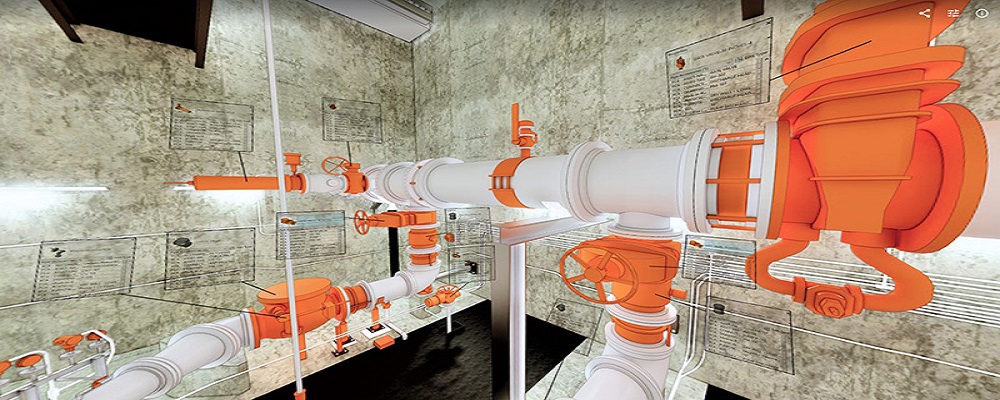
Reality Capture + Asset Information Modeling
Manufacturing, Factory, Production Plant
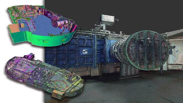
PMI was asked to participate in a pump station renovation in which asset and building life cycle management were high priority. Capturing post demolition conditions with terrestrial laser scanning assisted with the design process, and scanning final construction validated construction, graduating the design documents to as record drawing relevant for management of the building life cycle. The record drawings feature asset data such as model information and serial numbers for major equipment, key information for maintenance and repair.
Use case
Reality Capture + Asset Information Modeling
Manufacturing, Factory, Production Plant
PMI was asked to participate in a pump station renovation in which asset and building life cycle management were high priority. Capturing post demolition conditions with terrestrial laser scanning assisted with the design process, and scanning final construction validated construction, graduating the design documents to as record drawing relevant for management of the building life cycle. The record drawings feature asset data such as model information and serial numbers for major equipment, key information for maintenance and repair.
The LiDAR industry in Mexico presents numerous opportunities, driven by the increasing demand for precision mapping and surveying in sectors like agriculture, mining, and urban planning. Key considerations for individuals researching this field include understanding local regulations that govern aerial surveys and data privacy, as compliance is crucial for operational success. Additionally, potential challenges such as infrastructure limitations and varying levels of technology adoption across regions should be acknowledged, as these can impact project execution. Environmental concerns also play a significant role, particularly regarding the impact of LiDAR operations on ecosystems, which necessitates adherence to sustainability practices. The competitive landscape features both local and international players, making it essential to assess the capabilities and reputation of companies within the market. Furthermore, Mexico's geographic diversity enhances the relevance of LiDAR applications, opening avenues for innovative solutions tailored to specific environmental conditions. Awareness of global market trends is important, as Mexico's strategic location allows for collaboration with North American partners, positioning it as a growing hub for LiDAR technology in Latin America. Overall, a comprehensive understanding of these factors is vital for success in the LiDAR industry within Mexico.
Some interesting numbers and facts about your company results for LiDAR
| Country with most fitting companies | Mexico |
| Amount of fitting manufacturers | 5 |
| Amount of suitable service providers | 7 |
| Average amount of employees | 1-10 |
| Oldest suiting company | 1998 |
| Youngest suiting company | 2019 |
Some interesting questions that has been asked about the results you have just received for LiDAR
What are related technologies to LiDAR?
Based on our calculations related technologies to LiDAR are Magnets, Printed Electronics, Industrial Amplifiers, Electronic Transducers, Electronic Oscillators
Which industries are mostly working on LiDAR?
The most represented industries which are working in LiDAR are IT, Software and Services, Aviation and Aerospace, Electronics and Electrical engineering, Other, Architecture and Planning
How does ensun find these LiDAR Companies?
ensun uses an advanced search and ranking system capable of sifting through millions of companies and hundreds of millions of products and services to identify suitable matches. This is achieved by leveraging cutting-edge technologies, including Artificial Intelligence.