The B2B platform for the best purchasing descision. Identify and compare relevant B2B manufacturers, suppliers and retailers
Close
Filter
Result configuration
Continents
Select continent
Locations
Result types
Company type
Select company type
Industries
Select industry
Company status
Select company status preset
Number of employees
Min.
Max.
Founding year
National Drones
Scenic Rim Regional, Australia
A
11-50 Employees
2015
Key takeaway
National Drones offers advanced drone mapping software that enables high-resolution and accurate mapping and modeling, utilizing machine learning to enhance the quality of aerial data. This capability is particularly valuable for industries like telecommunications, mining, and infrastructure, facilitating faster inspections and improved compliance.
Reference
Core business
Drone Mapping Software - National Drones
High-resolution, accurate, mapping and modelling software backed by machine learning.
Propeller Aero
Sydney, Australia
A
101-250 Employees
2014
Key takeaway
Propeller specializes in drone mapping, offering a comprehensive 3D drone mapping software that enables users to quickly and accurately track, map, and measure worksites. Their expertise in GIS and photogrammetry, combined with dedicated support, empowers surveyors and project managers to adopt modern survey methods and enhance operational efficiency.
Reference
Core business
Drone Mapping Software | Propeller
Propeller's 3D drone mapping software is an end-to-end solution to quickly and accurately track, map, and measure your worksite.
DroneOp
Sydney, Australia
A
1-10 Employees
2017
Key takeaway
DroneOp specializes in drone aerial mapping and surveying, providing accurate and timely data essential for architects and surveyors. With advanced mapping technology and a partnership with a leading surveying practice, DroneOp ensures reliable survey results that can save time and costs in the building and construction industry.
Reference
Product
Drone Aerial Mapping & Surveying Products | DroneOp
Secure reliable, accurate survey data with our drone aerial mapping. Read more on how we save you time and money when you need aerial surveys. Contact us today.
Looking for more accurate results?
Find the right companies for free by entering your custom query!
25M+ companies
250M+ products
Free to use
High Exposure
Sydney, Australia
A
1-10 Employees
2017
Key takeaway
High Exposure offers specialized drone survey and mapping services, utilizing state-of-the-art drones to provide precise data collection and analysis. Their ability to conduct regular flights over sites allows for effective monitoring of changes over time, making drones a cost-effective solution for aerial mapping in various applications.
Reference
Core business
Commercial Drone Service Specialists
Heightened Vision
Cairns Regional, Australia
A
1-10 Employees
2021
Key takeaway
The company specializes in drone mapping, utilizing advanced technology to deliver precise visual representations and topographic surveys through Lidar and photogrammetry. Their licensed drone pilots support various construction projects by producing accurate aerial surveys and 3D models, ensuring efficient and effective mapping solutions.
Reference
Service
Survey / Mapping Drone Services
Our licensed drone pilots support a range of small and large scale constructions projects, producing aerial surveys, reports, inspections and 3D models.
Oz Drone Operations
Melbourne, Australia
A
1-10 Employees
2017
Key takeaway
The company specializes in drone services, offering a wide range of applications including data collection, asset inspections, interactive 3D modeling, and aerial photography. With over 12 years of experience and the capability to operate in restricted fly zones, they ensure timely delivery of high-quality mapping and surveying solutions.
Reference
Service
Drone Services Melbourne and Australia - Asset Inspection, 3D Modelling, Aerial Photos Videos
Rise Above Drones
Sydney, Australia
A
11-50 Employees
2012
Key takeaway
Rise Above Custom Drones & Robotics specializes in high-quality drone solutions and is a leading provider of UAV mapping software, including DroneDeploy. With nearly a decade of experience, they offer expert advice and support for various applications across Australia.
Reference
Product
DroneDeploy UAV Mapping Software Solution – RA Australia
Sky Photography Australia
Sydney, Australia
A
11-50 Employees
2017
Key takeaway
The company offers a comprehensive range of drone services, featuring advanced hardware and software for effective mapping solutions. Their packages include multiple drone passes and options for delivery, ensuring high-quality results for various applications.
Reference
Service
Our Services

Yarra Drones
Melbourne, Australia
A
- Employees
-
Key takeaway
The company, a Melbourne-based drone services start-up, specializes in innovative drone mapping solutions that integrate advanced technologies like image analytics and AI. They offer "See before you build" services, which provide aerial views for planning and include capabilities for corridor mapping and reality modeling.
Reference
Core business
Yarra Drones - Drones Operator, Drone Mapping, Aerial Photography
Applying Drones Innovatively
Queensland Drones
Greater Brisbane, Australia
A
1-10 Employees
2015
Key takeaway
Queensland Drones specializes in aerial LIDAR mapping and precision aerial surveys, offering fast and accurate PPK aerial mapping services that include LIDAR point clouds and topographic maps. With a CASA certification and a commitment to safety, they ensure high-resolution aerial inspections and data that enhance the capabilities of traditional ground surveys.
Reference
Core business
LIDAR Mapping Of Urban Streetscapes - Queensland Drones
In the course of this project we contacted and informed more than 100 residents to ensure maximum safety and regulatory compliance during the operation, then
Technologies which have been searched by others and may be interesting for you:
A selection of suitable products and services provided by verified companies according to your search.

Service
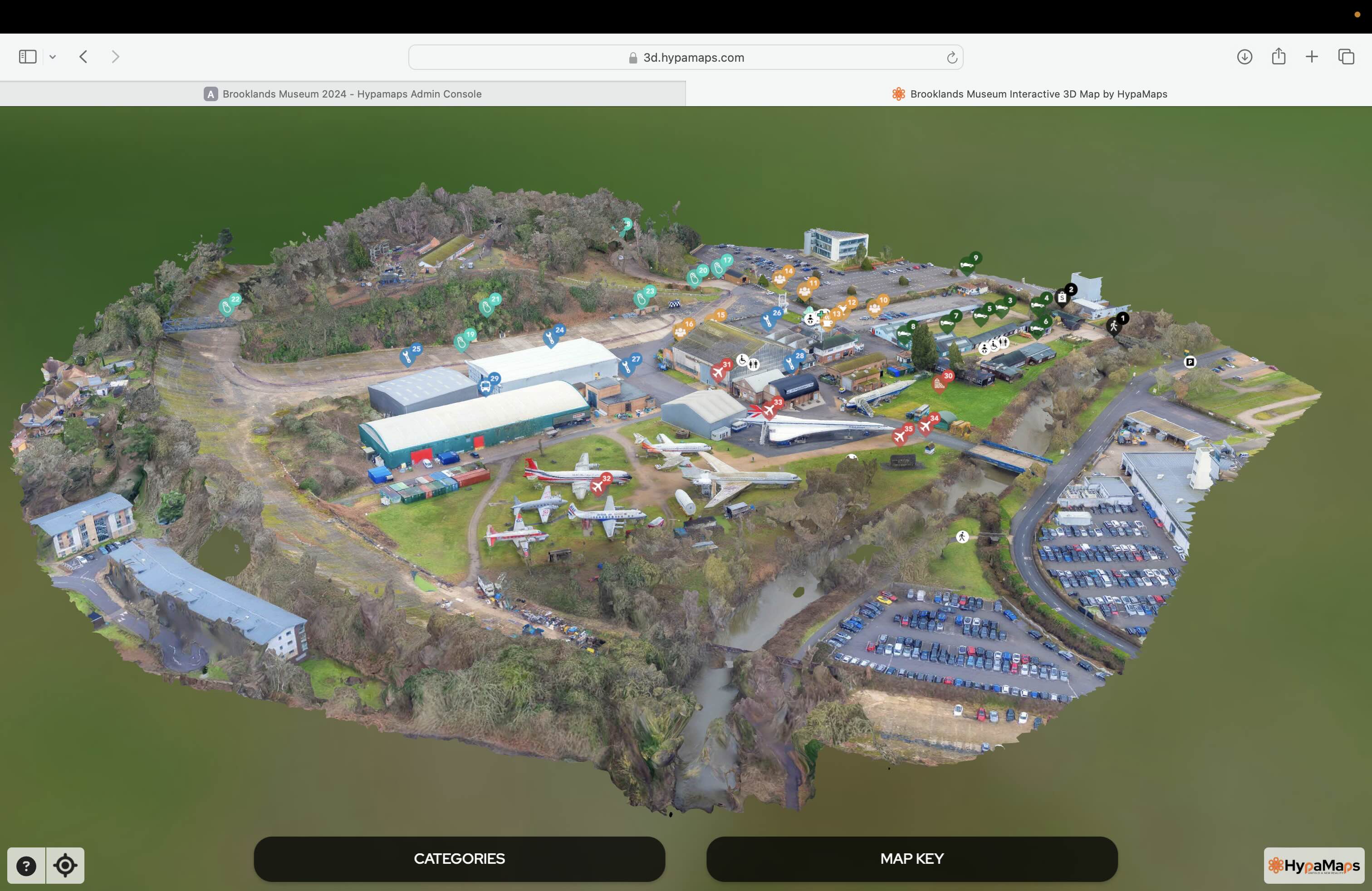
Interactive 3d Maps
Go to product

Service
Aerial Drone Photography and Inspection
Go to product
A selection of suitable use cases for products or services provided by verified companies according to your search.

Use case
Aerial Video and Photography
Ortophotography, Aerial Mapping, Real Estate, Advertising, Marketing, Sports, Corporate Marketing, Construction
Serviços que podemos oferecer: Inspeções a estruturas e edifícios, telhados, instalações industriais, antenas de comunicação, cabos de alta tensão ou redes eléctricas suspensas. Mapeamento aéreo de terrenos, infraestruturas ou pontos de interesse. Ánalise detalhada de pequenas e grandes áreas com alto nível de resolução espacial. Captação de imagens aéreas para o sector dos transportes e mobilidade urbana. Estaleiros e infraestruturas navais, sistemas ferroviários e rodoviários. Imagens aéreas para o sector do turismo e hotelaria; hotéis, resorts turísticos, alojamentos locais, pontos de interesse turísticos ou eventos relacionados. Captação e cobertura de eventos relacionados com a arte e cultura; concertos ou festivais, arte urbana ou exposições interiores ou ao ar livre. Captação de imagens para eventos desportivos, promoção de eventos e associações desportivas ou infraestruturas relacionadas com o desporto.
The Drone Mapping industry in Australia is influenced by several critical factors. Firstly, regulatory compliance is paramount; operators must adhere to the Civil Aviation Safety Authority (CASA) regulations, which dictate safe operational practices, licensing, and equipment standards. Understanding these regulations is essential for legal and safe drone operations. Additionally, technical capabilities and software integration play a significant role in the effectiveness of drone mapping services. Companies must be equipped with advanced technology for accurate data collection and processing. The competitive landscape features a mix of established firms and emerging startups, necessitating a focus on innovation and service differentiation. Environmental concerns are also increasingly relevant, as drone operations can impact wildlife and ecosystems. Companies must engage in responsible practices to mitigate negative effects. Furthermore, the global market shows growing demand for drone mapping across various sectors, including agriculture, construction, and mining, which presents numerous opportunities for growth and collaboration. Potential challenges include navigating the rapid technological advancements and staying abreast of changing regulations and market demands. For those evaluating companies in this field, it's crucial to assess their track record, technology use, and commitment to compliance and sustainability to ensure a reliable partnership in the evolving drone mapping landscape.
Some interesting numbers and facts about your company results for Drone Mapping
| Country with most fitting companies | Australia |
| Amount of fitting manufacturers | 348 |
| Amount of suitable service providers | 397 |
| Average amount of employees | 11-50 |
| Oldest suiting company | 2012 |
| Youngest suiting company | 2021 |
Some interesting questions that has been asked about the results you have just received for Drone Mapping
What are related technologies to Drone Mapping?
Based on our calculations related technologies to Drone Mapping are Big Data, E-Health, Retail Tech, Artificial Intelligence & Machine Learning, E-Commerce
Who are Start-Ups in the field of Drone Mapping?
Start-Ups who are working in Drone Mapping are Heightened Vision
Which industries are mostly working on Drone Mapping?
The most represented industries which are working in Drone Mapping are IT, Software and Services, Other, Aviation and Aerospace, Construction, Mining
How does ensun find these Drone Mapping Companies?
ensun uses an advanced search and ranking system capable of sifting through millions of companies and hundreds of millions of products and services to identify suitable matches. This is achieved by leveraging cutting-edge technologies, including Artificial Intelligence.