The B2B platform for the best purchasing descision. Identify and compare relevant B2B manufacturers, suppliers and retailers
Close
Filter
Result configuration
Continents
Select continent
Locations
Result types
Company type
Select company type
Industries
Select industry
Company status
Select company status preset
Number of employees
Min.
Max.
Founding year
AirRobot
Arnsberg, Germany
A
11-50 Employees
2005
Key takeaway
Nordic Unmanned specializes in providing advanced drone mapping solutions that enhance efficiency and data capture through unmanned systems. With a focus on customization and a strong track record in technology development, they offer high-end products and services tailored to meet specific client needs, making them a key player in the drone mapping industry.
Reference
Service
Mapping - Nordic Unmanned
ORTHODRONE
Kiel, Germany
A
1-10 Employees
2018
Key takeaway
Orthodrone specializes in advanced, ultra-high-resolution spatial data acquisition using proprietary UAS technology, making it a reliable partner for applications such as drone mapping. Their expertise in providing sharp, unmanned LiDAR data and conducting automated inspections in various environments highlights their capability to deliver precise and cost-effective solutions for surveying and modeling needs.
Reference
Core business
Orthodrone • UAS Services & Geospatial Solutions
We offer advanced, ultra-high-resolution spatial data acquisition and scientific analyses services for your industry or research needs.
DronoDat
Magdeburg, Germany
A
1-10 Employees
-
Key takeaway
DronoDat specializes in data collection using advanced drones, providing real-time data for initial planning and monitoring progress, making it highly relevant for drone mapping applications. Their expertise in data processing and analysis further enhances the effectiveness of geospatial solutions.
Reference
Core business
Dronodat – Geospatial Solutions
Looking for more accurate results?
Find the right companies for free by entering your custom query!
25M+ companies
250M+ products
Free to use
exabotix GmbH
Bad Lauterberg im Harz, Germany
A
11-50 Employees
2015
Key takeaway
Exabotix offers a comprehensive DronePort Mapping Package, which includes a drone hangar solution designed for fully automated and regular industrial drone surveying tasks. Their systems ensure reliable performance for daily automated measurements, making them ideal for professional mapping applications.
Reference
Product
DronePort Mapping - daily automated measurement - exabotix
The DronePort Mapping Package provides a drone hangar solution for fully automated, regular industrial drone surveying tasks.
LOGXON GmbH & Co. KG
Alsbach-Hähnlein, Germany
A
1-10 Employees
2018
Key takeaway
LOGXON specializes in advanced 3D data capturing and evaluation, utilizing cutting-edge UAVs and sensors for drone mapping. Their expertise includes creating detailed 3D models from point clouds generated by UAV LiDAR scanning, making them a key player in the field of aerial data collection and analysis.
Reference
Service
UAV laser scanning (LiDAR Scanning) with scanning drones by LOGXON
3D survey and mapping based on textured point clouds from UAV LiDAR scanning / UAV laser scanning. Our service: 3D Data capturing and 3D data evaluation.
Drone-Rental.com
Oberursel (Taunus), Germany
A
1-10 Employees
-
Key takeaway
Drone-Rental.com provides access to autonomous drones equipped with advanced technology, allowing users to execute mapping missions in real-time from various locations across Europe. Their expertise in drone rental and data services makes them a valuable resource for professionals seeking innovative solutions for drone mapping.
Reference
Product
Rent a drone Data Services | Drone-Rental.com
Rent a drone Data Services or drone a fleet with Drone-Rental.com, expert in drone rental and consulting for professionals.
MAGDA-MAP
Kassel, Germany
A
1-10 Employees
-
Key takeaway
MAGDA-MAP specializes in drone-based aerial surveying and remote sensing, providing photogrammetric aerial imagery that is ideal for depicting and analyzing spatial changes. Their offerings include orthophotos, digital terrain models, and 3D models, making them a valuable resource for urban planning and landscape design.
Reference
Core business
MAGDA-MAP - Drohnen Luftbildvermessung und Fernerkundung
Luftbilder, Kartografien, 3D Luftbildvermessung, Geodaten und Photogrammetrie- Produkte im Bereich der Drohnen basierten Fernerkundung.
Luftfotos24
Geestland, Germany
A
1-10 Employees
-
Key takeaway
Luftfotos24 specializes in precision farming through advanced drone technology, offering aerial crop analysis that provides precise and timely data. Their experienced team enhances decision-making for improved crop quality and higher yields.
Reference
Core business
Luftfotos24 – Precision farming with drones
UrTechPartner.de
Osnabrück, Germany
A
1-10 Employees
2017
Key takeaway
UTP-RoboX utilizes industrial-grade drones equipped with advanced features like autonomous flights and automatic object segmentation, making them well-suited for applications such as drone mapping and warehouse digitalization. Their services range from aerial cinematography to inventory counting and data insights, offering a comprehensive solution for various needs.
Reference
Core business
Home - UTP-RoboX
Warehouse management with AI enable drones!! UTP-RoboX
Microdrones
Siegen, Germany
A
11-50 Employees
2005
Key takeaway
Microdrones specializes in aerial mapping solutions, offering complete packages ideal for applications such as surveying, area mapping, and precision agriculture. Their innovative UAVs, including the md4-3000, enhance these capabilities with extended flight times and significant payload capacities.
Reference
Product
Data processing software
Microdrones software applications: LP360 and mdCockpit for data processing and flight control. Powerful UAV solutions for a safe and controlled drone flight.
Technologies which have been searched by others and may be interesting for you:
A selection of suitable products and services provided by verified companies according to your search.

Service
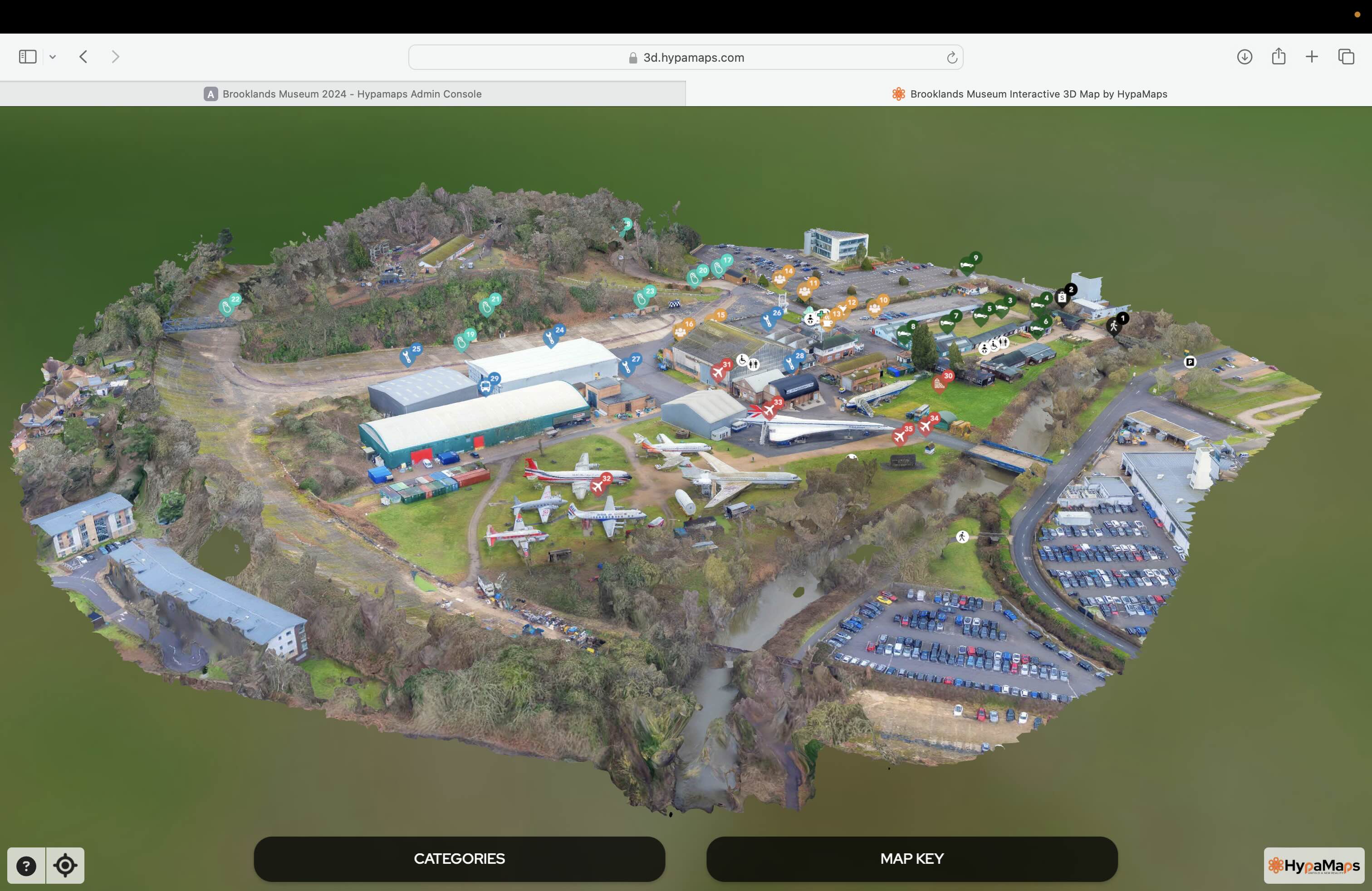
Interactive 3d Maps
Go to product

Service
Aerial Drone Photography and Inspection
Go to product
A selection of suitable use cases for products or services provided by verified companies according to your search.

Use case
Aerial Video and Photography
Ortophotography, Aerial Mapping, Real Estate, Advertising, Marketing, Sports, Corporate Marketing, Construction
Serviços que podemos oferecer: Inspeções a estruturas e edifícios, telhados, instalações industriais, antenas de comunicação, cabos de alta tensão ou redes eléctricas suspensas. Mapeamento aéreo de terrenos, infraestruturas ou pontos de interesse. Ánalise detalhada de pequenas e grandes áreas com alto nível de resolução espacial. Captação de imagens aéreas para o sector dos transportes e mobilidade urbana. Estaleiros e infraestruturas navais, sistemas ferroviários e rodoviários. Imagens aéreas para o sector do turismo e hotelaria; hotéis, resorts turísticos, alojamentos locais, pontos de interesse turísticos ou eventos relacionados. Captação e cobertura de eventos relacionados com a arte e cultura; concertos ou festivais, arte urbana ou exposições interiores ou ao ar livre. Captação de imagens para eventos desportivos, promoção de eventos e associações desportivas ou infraestruturas relacionadas com o desporto.
The Drone Mapping industry in Germany is shaped by several key considerations that potential entrants should evaluate. Regulatory compliance is paramount, as Germany has stringent laws governing drone operations, including the need for specific licenses and adherence to privacy regulations. Companies must maintain awareness of the evolving legal landscape, particularly the European Union's drone regulations which impact operational procedures. Challenges in this sector include competition from established players and the need for advanced technological capabilities. Opportunities exist in various sectors such as agriculture, construction, and environmental monitoring, where drone mapping can enhance efficiency and data accuracy. The demand for precise surveying and mapping solutions continues to rise, contributing to the industry's growth. Environmental concerns also play a role, as the use of drones can offer sustainable alternatives to traditional mapping methods, reducing carbon footprints. Awareness of the competitive landscape is crucial, as collaboration with local businesses and technology providers can lead to innovative solutions and market differentiation. Furthermore, the global market relevance of drone mapping technologies presents avenues for expansion and international partnerships, making it essential for companies to align their strategies with global trends while catering to local needs.
Some interesting numbers and facts about your company results for Drone Mapping
| Country with most fitting companies | Germany |
| Amount of fitting manufacturers | 561 |
| Amount of suitable service providers | 567 |
| Average amount of employees | 1-10 |
| Oldest suiting company | 2005 |
| Youngest suiting company | 2018 |
Some interesting questions that has been asked about the results you have just received for Drone Mapping
What are related technologies to Drone Mapping?
Based on our calculations related technologies to Drone Mapping are Big Data, E-Health, Retail Tech, Artificial Intelligence & Machine Learning, E-Commerce
Which industries are mostly working on Drone Mapping?
The most represented industries which are working in Drone Mapping are IT, Software and Services, Other, Aviation and Aerospace, Media and Entertainment, Marketing Services
How does ensun find these Drone Mapping Companies?
ensun uses an advanced search and ranking system capable of sifting through millions of companies and hundreds of millions of products and services to identify suitable matches. This is achieved by leveraging cutting-edge technologies, including Artificial Intelligence.