Locations
Company type
Result types
Industries
Employees
Founding year

The B2B platform for the best purchasing descision. Identify and compare relevant B2B manufacturers, suppliers and retailers
Close
Filter
Result configuration
Continents
Select continent
Locations
Result types
Company type
Select company type
Industries
Select industry
Company status
Select company status preset
Number of employees
Min.
Max.
Founding year
Aerial_Insights
Spain
A
1-10 Employees
2015
Key takeaway
Aerial Insights offers advanced technology for drone image processing, making it easy and cost-effective to conduct drone-based mapping and surveying. Their online platform allows users to upload images and generate various types of maps, emphasizing the speed, precision, and affordability of drone mapping.
Reference
Core business
Topografía con drones - Procesa tus imágenes de forma sencilla y económica
Procesa las imágenes de tus levantamientos topográficos con drone de forma sencilla y económica a través de nuestra plataforma online - Pago por uso

ModlEarth
Ferrol, Spain
A
1-10 Employees
2020
Key takeaway
The company specializes in drone mapping, offering high-resolution digital models and updated cartography. Their services include aerial photography, drone flights, and photogrammetry, which are essential for landscape analysis and environmental data capture.
Reference
Service
Drone Mapping, Photography and Video services for landscape analysis
Aerial photography, drone flights, high-resolution orthophotos, digital terrain models, thematic mapping, flight scripts, photogrammetry
4D Twin Maps
Girona, Spain
A
1-10 Employees
-
Key takeaway
The company offers a comprehensive solution for drone mapping, including photogrammetry processing and the creation of distinctive 3D models. Their platform features a captivating 3D world map to view published orthophotos and point clouds, as well as tools for sharing and monetizing 3D data.
Reference
Core business
4D Twin Maps - Monetize you 3D data from your drone and smartphone photos
Bring your properties to the Metaverse
Looking for more accurate results?
Find the right companies for free by entering your custom query!
25M+ companies
250M+ products
Free to use
aereal
Valencia, Spain
A
1-10 Employees
2013
Key takeaway
The company specializes in aerial drone filming for various productions, providing a unique perspective that is particularly valuable for industrial applications such as topography and aerial photogrammetry. Their professional team is equipped to handle technical projects and offers a diverse range of aircraft for different imaging needs.
Reference
Product
Pix4D – aereal empresa de drones
ServiDrone
Granada, Spain
A
1-10 Employees
-
Key takeaway
SERVIDRONE is a pioneering drone operator in Spain, positioned as a platform or marketplace for the sector, and is authorized by the Spanish Agency for Air Safety, indicating its capability to provide national-level services, which may include drone mapping.
Reference
Service
Services Archivo - Servi drones
Airmedia 360
Madrid, Spain
A
11-50 Employees
-
Key takeaway
The company offers turnkey drone services with a focus on location and scouting, utilizing specialized drones to help find ideal sites for projects. With over 4,500 flying hours and a proven track record, they ensure efficient and high-quality aerial solutions for various productions.
Reference
Service
Drone rental for location & scouting - Airmedia360
Our team of professionals provides location & scouting services, using the best specialised drones to find the ideal place for your project.
DRONELAB
Barcelona, Spain
A
1-10 Employees
2015
Key takeaway
Dronelab is a drone and helicopter filming company that offers advanced aerial filming services, making it well-suited for industries like tourism and sports. Their team of experienced pilots and technicians utilizes high-performance, stabilized camera systems, which can accommodate various professional camera and lens combinations, ensuring high-quality aerial footage.
Reference
Core business
DRONELAB* Servicio de filmación con Drones y Helicóptero. UE
Filmación Aérea Drone, Helicóptero, Cablecam en Barcelona. Servicios de filmación aérea con drones en CTR o NOCTURNA. Cobertura internacional.
PRECISIONDRONE
Burgos, Spain
A
1-10 Employees
-
Key takeaway
Precision Drone is a cluster of companies and professionals focused on providing engineering solutions through the use of drones and sensors.
Reference
Core business
PRECISIONDRONE – drone engineering solutions
UAV Galicia Ingeniería Técnica SL
Santiago de Compostela, Spain
A
1-10 Employees
2015
Key takeaway
UAV Galicia specializes in using drones for geographic information acquisition and employs GIS technology for data processing. They offer technical services related to geomatics and surveying, utilizing advanced techniques like photogrammetry and laser scanning, which have applications in various fields, including environmental studies and heritage management.
Reference
Core business
UAV Galicia | Servicios con drones
Servicios de ingeniería técnica con drones
PIRODRONE
Madrid, Spain
A
1-10 Employees
2021
Key takeaway
Piro Drone specializes in high-quality drone inspection services, utilizing advanced technology to deliver accurate and timely data. Their experienced team offers customized solutions for various inspection needs, ensuring customer satisfaction and professional results.
Reference
Core business
Professional drone inspection services - Piro Drone
We offer professional drone services for inspections, photography and much more. Contact us to find out how we can help you.
Technologies which have been searched by others and may be interesting for you:
A selection of suitable products and services provided by verified companies according to your search.
Service
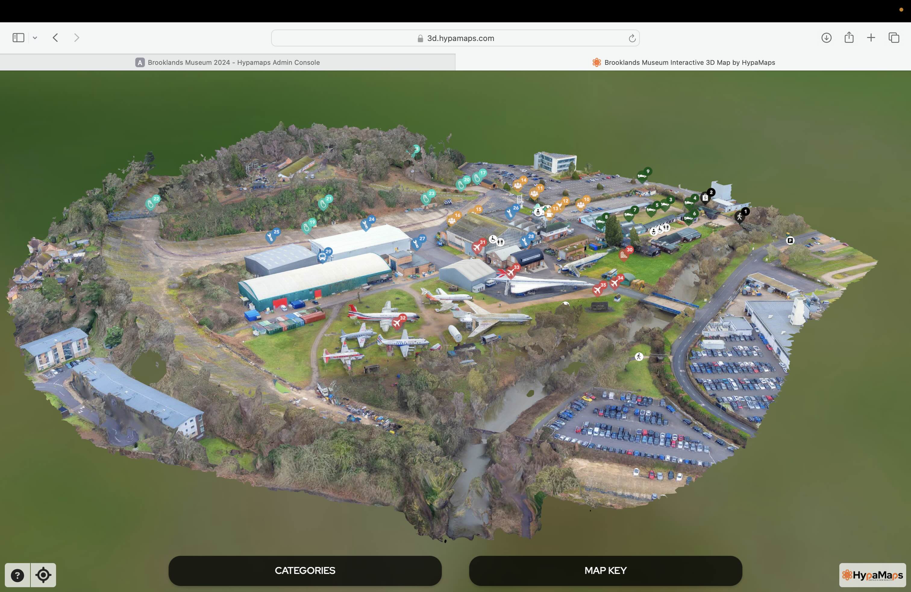
Interactive 3d Maps
Go to product
Service
Aerial Drone Photography and Inspection
Go to product
A selection of suitable use cases for products or services provided by verified companies according to your search.
Use case
Aerial Video and Photography
Ortophotography, Aerial Mapping, Real Estate, Advertising, Marketing, Sports, Corporate Marketing, Construction
Serviços que podemos oferecer: Inspeções a estruturas e edifícios, telhados, instalações industriais, antenas de comunicação, cabos de alta tensão ou redes eléctricas suspensas. Mapeamento aéreo de terrenos, infraestruturas ou pontos de interesse. Ánalise detalhada de pequenas e grandes áreas com alto nível de resolução espacial. Captação de imagens aéreas para o sector dos transportes e mobilidade urbana. Estaleiros e infraestruturas navais, sistemas ferroviários e rodoviários. Imagens aéreas para o sector do turismo e hotelaria; hotéis, resorts turísticos, alojamentos locais, pontos de interesse turísticos ou eventos relacionados. Captação e cobertura de eventos relacionados com a arte e cultura; concertos ou festivais, arte urbana ou exposições interiores ou ao ar livre. Captação de imagens para eventos desportivos, promoção de eventos e associações desportivas ou infraestruturas relacionadas com o desporto.
When exploring the drone mapping industry in Spain, several key considerations must be taken into account. First, regulatory compliance is crucial, as the European Union Aviation Safety Agency (EASA) governs drone operations, requiring operators to adhere to specific safety and operational guidelines. Understanding local regulations, including restrictions on flying in certain areas and necessary certifications, is essential for legal operation. Challenges in the industry include technological advancements that require constant adaptation, as well as competition from both established firms and new entrants. Companies should also be aware of environmental concerns, such as the impact of drone operations on wildlife and ecosystems, which can influence public perception and regulatory policies. Opportunities abound due to Spain's diverse landscapes, making it an ideal location for various applications like agriculture, urban planning, and infrastructure inspection. The growing demand for accurate mapping data across sectors enhances the relevance of drone technology. Additionally, the global market for drone mapping is expanding, with increasing interest from international clients seeking advanced solutions. In summary, understanding the regulatory landscape, adapting to technological changes, addressing environmental impacts, and recognizing market opportunities are essential for anyone interested in the drone mapping industry in Spain.
Some interesting numbers and facts about your company results for Drone Mapping
| Country with most fitting companies | Spain |
| Amount of fitting manufacturers | 171 |
| Amount of suitable service providers | 139 |
| Average amount of employees | 1-10 |
| Oldest suiting company | 2013 |
| Youngest suiting company | 2021 |
Some interesting questions that has been asked about the results you have just received for Drone Mapping
What are related technologies to Drone Mapping?
Based on our calculations related technologies to Drone Mapping are Big Data, E-Health, Retail Tech, Artificial Intelligence & Machine Learning, E-Commerce
Who are Start-Ups in the field of Drone Mapping?
Start-Ups who are working in Drone Mapping are PIRODRONE
Which industries are mostly working on Drone Mapping?
The most represented industries which are working in Drone Mapping are IT, Software and Services, Aviation and Aerospace, Construction, Other, Marketing Services
How does ensun find these Drone Mapping Companies?
ensun uses an advanced search and ranking system capable of sifting through millions of companies and hundreds of millions of products and services to identify suitable matches. This is achieved by leveraging cutting-edge technologies, including Artificial Intelligence.