The B2B platform for the best purchasing descision. Identify and compare relevant B2B manufacturers, suppliers and retailers
Close
Filter
Result configuration
Continents
Select continent
Locations
Result types
Company type
Select company type
Industries
Select industry
Company status
Select company status preset
Number of employees
Min.
Max.
Founding year
Sens Technology.com
Mumbai, India
D
1-10 Employees
2015
Key takeaway
The company, SENS GEOMATIC PVT. LTD., specializes in professional aerial mapping and drone mapping, offering a comprehensive range of services that includes topographical surveys, 3D mapping, and GIS. With a commitment to excellence and advanced technology, they provide innovative solutions for various applications, enhancing project outcomes through accurate geospatial data and visualization.
Reference
Core business
Aerial mapping, Surveying Drone mapping, GIS, 3D mapping, Topographic mapping, Orthomosaic maps, LiDAR Remote sensing, Cartography Geospatial data Terrain analysis, Photogrammetry
Transform your project with our 3D documentation services. We provide high-quality scanning, modeling, and visualization for accurate and immersive documentation of your assets. Discover how our cutting-edge technology can streamline your workflow and enhance your project outcomes."
Spatialmate Consultancy Pvt Ltd
Madurai, India
D
1-10 Employees
2017
Key takeaway
Spatial Mate Consultancy Pvt Ltd specializes in drone mapping and inspection, offering end-to-end drone solutions for various applications, including construction, environmental management, and more. They provide services such as aerial triangulation, point cloud generation, and data analysis, ensuring high accuracy and cost-effectiveness in geospatial solutions.
Reference
Core business
Drone Mapping And Inspection | Spatialmate Consultancy Pvt Ltd
Drone Mapping and inspection DAAS - Drone as a service providers. We are offering end to end drone solutions to our end clients. Reach us on Spatialamate consultancy pvt ltd.
Pi-Drones
Kanpur, India
D
1-10 Employees
2018
Key takeaway
Pi-Drones specializes in drone solutions for Survey & Mapping, having surveyed over 4000 acres of industrial land. Their expertise in aerial applications highlights their capability in large-scale mapping projects.
Reference
Core business
Drone Mapping | Pi-drones | Pune
Professional Drones For Large Scale Missions
Looking for more accurate results?
Find the right companies for free by entering your custom query!
25M+ companies
250M+ products
Free to use
Dronitech
Mumbai, India
D
11-50 Employees
2018
Key takeaway
Dronitech is a leading aerial drone technology company that offers comprehensive UAV solutions, including aerial mapping and 3D mapping services. Their advanced software applications and tailored services provide essential data for optimizing operations and making informed business decisions.
Reference
Core business
Drone Services In Mumbai | Aerial Mapping | Aerial Photography
Droni Tech is leading Drone services provider in Mumbai, India. We provide aerial photography and filming, 360 virtual tours, 3D mapping s...
IG Drones
Dadri, India
D
11-50 Employees
2018
Key takeaway
The company, IG Drones, specializes in providing highly accurate and detailed drone mapping services, along with GIS surveys and inspections. With a commitment to high-quality results, they leverage advanced drone technology to deliver efficient aerial solutions across various industries.
Reference
Service
Services - IG Drones | Drone Inspection & Mapping Services
We provide drone survey ,mapping and inspection solutions & specialist inspection services at height and difficult to access areas, via the use of drones.
Drone Destination
India
D
11-50 Employees
2019
Key takeaway
Drone Destination, along with its sister company Hubblefly Technologies, specializes in drone manufacturing and has established a comprehensive drone ecosystem that includes certified training and services. This expertise positions them as a key player in drone mapping and aerial surveying, offering specialized training for drone pilots.
Reference
Service
Drones in Mapping & Aerial Surveying | Drone Pilot Training in India
GeoVironment3D LLP
Dehradun, India
D
1-10 Employees
2020
Key takeaway
GeoVironment3D specializes in innovative drone mapping solutions, offering highly accurate surveys and strategic data collection that can significantly speed up projects and reduce costs. Their expertise in photogrammetry also enables the creation of interactive 3D and 360-degree virtual tours, making aerial survey accessible and efficient for various applications.
Reference
Core business
Drone Survey | Geovironment3D | India
Geovironment3D provide highly accurate drone surveys. Contact us today for large area scanning using drones to produce maps, survey plans, etc. within few days.
Aero360 - DroniX Technologies Private Limited
Chennai, India
D
11-50 Employees
2017
Key takeaway
Aero360 specializes in advanced drone solutions for surveying and mapping, offering the ability to quickly cover large areas and transform data into 3D models, point clouds, and topographical maps. Their state-of-the-art, DGCA compliant autonomous drones are designed to meet the unique challenges of various industries, ensuring precision and efficiency in data collection.
Reference
Product
Surveying & Mapping solutions - Drones for Surveying & Mapping - Aero360
We provide Surveying & Mapping solutions to quickly cover a large area & transform the data into effective 3D models, Point Clouds, Orthomosaics, topographical maps.
Axesmap
Bengaluru, India
D
11-50 Employees
2018
Key takeaway
Axesmap is a specialized provider of drone survey and mapping services in Bangalore, offering advanced aerial survey, photogrammetry, and customized solutions that enhance construction monitoring and deliver actionable intelligence.
Reference
Core business
Home | Aerial Imagery & Photogrammetry
Axesmap is an end to end drone solutions provider based out of Bengaluru. We are specialized in aerial survey & mapping, close range photogrammetry , aerial photography and providing customized solutions according to customer needs.
AIRPIX
India
D
1-10 Employees
2013
Key takeaway
AIRPIX offers comprehensive drone mapping solutions, including aerial photography, videography, and GIS mapping, making it a key player in the drone industry in India. Their expertise spans from data acquisition to processing and application development, ensuring thorough project monitoring and inspection services.
Reference
Core business
Drone Survey India | Drone Solutions in India | AIRPIX
Providing professional drone survey solutions for projects in India including Aerial Photography, Videography, GIS mapping, and Data Processing.
Technologies which have been searched by others and may be interesting for you:
A selection of suitable products and services provided by verified companies according to your search.

Service
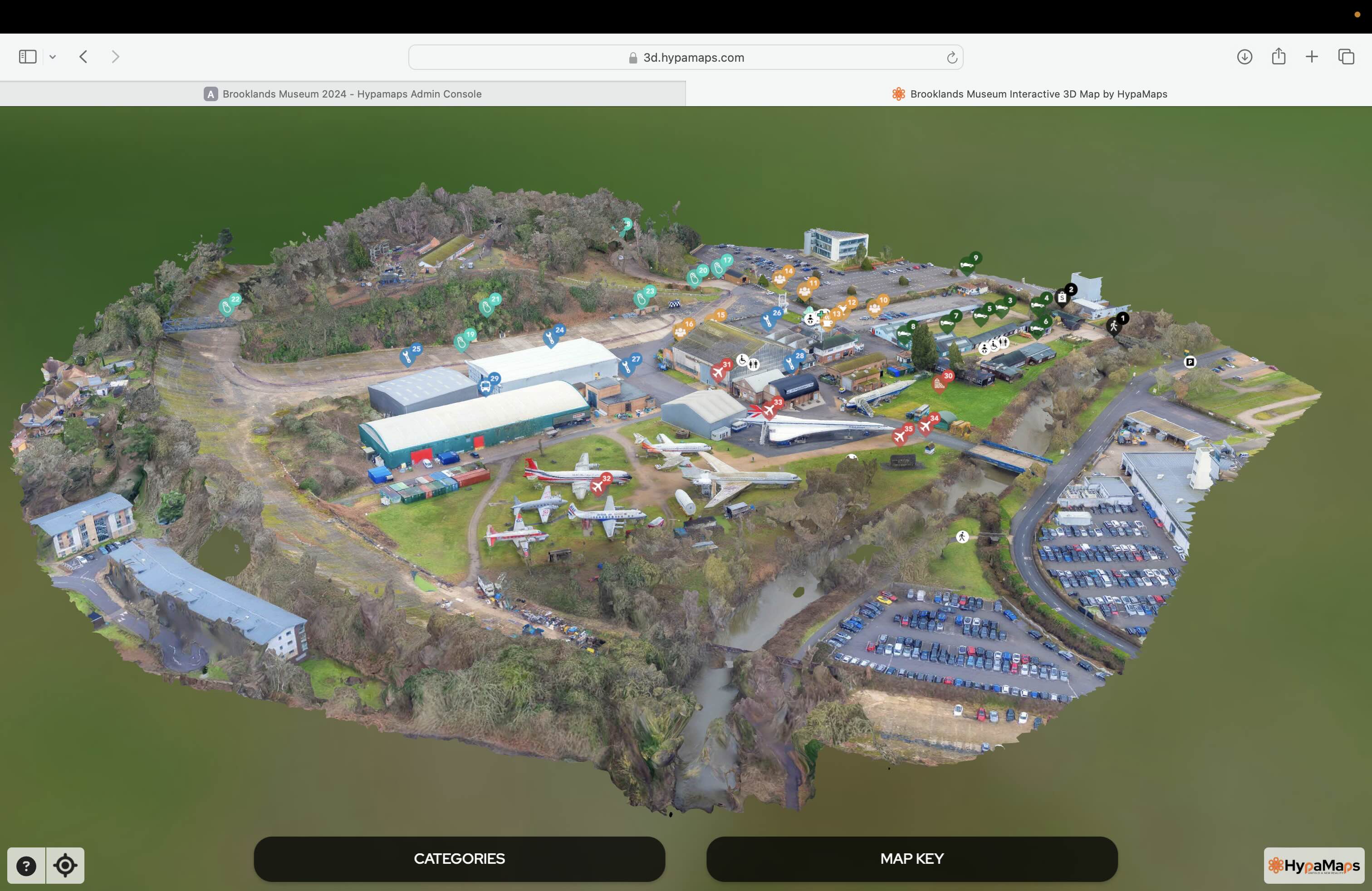
Interactive 3d Maps
Go to product

Service
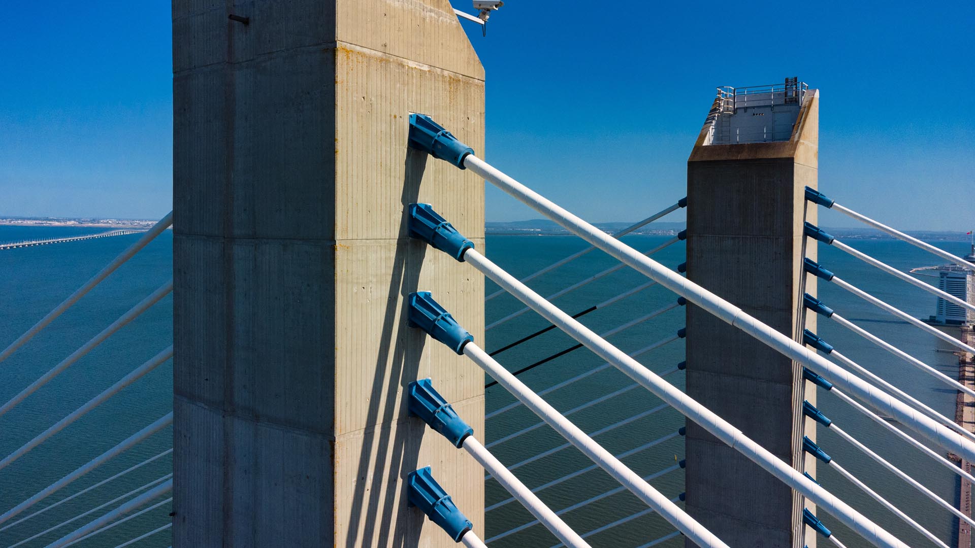
Aerial Drone Photography and Inspection
Go to product
A selection of suitable use cases for products or services provided by verified companies according to your search.

Use case
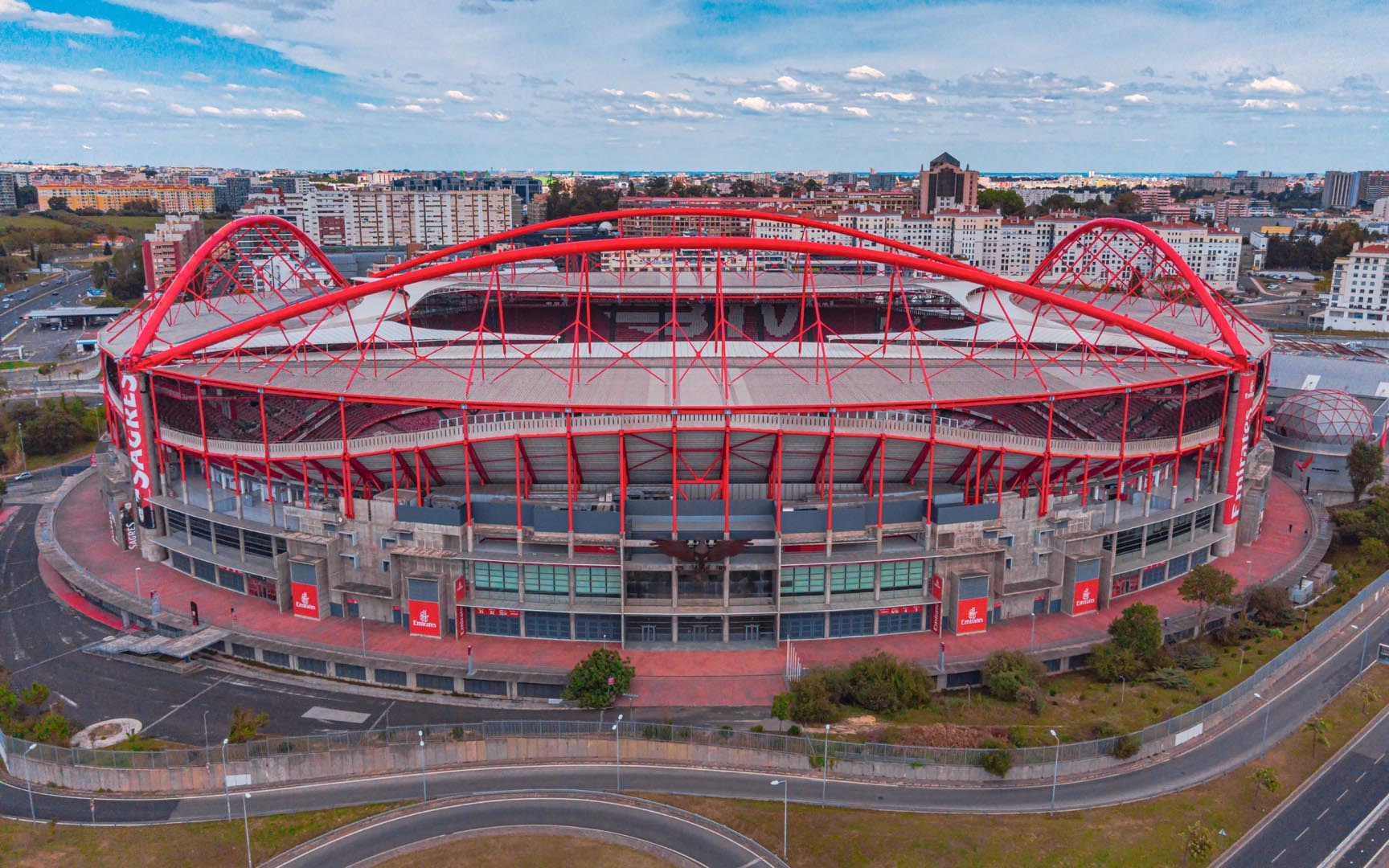
Aerial Video and Photography
Ortophotography, Aerial Mapping, Real Estate, Advertising, Marketing, Sports, Corporate Marketing, Construction
Serviços que podemos oferecer: Inspeções a estruturas e edifícios, telhados, instalações industriais, antenas de comunicação, cabos de alta tensão ou redes eléctricas suspensas. Mapeamento aéreo de terrenos, infraestruturas ou pontos de interesse. Ánalise detalhada de pequenas e grandes áreas com alto nível de resolução espacial. Captação de imagens aéreas para o sector dos transportes e mobilidade urbana. Estaleiros e infraestruturas navais, sistemas ferroviários e rodoviários. Imagens aéreas para o sector do turismo e hotelaria; hotéis, resorts turísticos, alojamentos locais, pontos de interesse turísticos ou eventos relacionados. Captação e cobertura de eventos relacionados com a arte e cultura; concertos ou festivais, arte urbana ou exposições interiores ou ao ar livre. Captação de imagens para eventos desportivos, promoção de eventos e associações desportivas ou infraestruturas relacionadas com o desporto.
The Drone Mapping industry in India presents numerous opportunities and challenges for those interested in entering the market. One of the key considerations is the regulatory framework, as the Directorate General of Civil Aviation (DGCA) has established specific guidelines for drone operations, including licensing and safety requirements. Understanding these regulations is crucial for compliance and operational success. Additionally, the competitive landscape is evolving rapidly, with both established companies and startups vying for market share. This sector is witnessing significant investment, driven by demand in agriculture, construction, and urban planning. Environmental concerns also play a role, as drone mapping can provide more sustainable methods for data collection compared to traditional methods, reducing the ecological footprint. Another important factor is the technological advancements within the drone mapping space, including the integration of AI and machine learning for data analysis, which enhances the precision and efficiency of mapping tasks. As the global market for drone technology continues to expand, Indian companies have the potential to tap into international markets, benefiting from the country's technological expertise and growing infrastructure. However, challenges such as infrastructure limitations and the need for skilled personnel remain pertinent. Overall, a thorough understanding of these factors is essential for anyone looking to engage in the Drone Mapping industry in India.
Some interesting numbers and facts about your company results for Drone Mapping
| Country with most fitting companies | India |
| Amount of fitting manufacturers | 382 |
| Amount of suitable service providers | 399 |
| Average amount of employees | 11-50 |
| Oldest suiting company | 2013 |
| Youngest suiting company | 2020 |
Some interesting questions that has been asked about the results you have just received for Drone Mapping
What are related technologies to Drone Mapping?
Based on our calculations related technologies to Drone Mapping are Big Data, E-Health, Retail Tech, Artificial Intelligence & Machine Learning, E-Commerce
Which industries are mostly working on Drone Mapping?
The most represented industries which are working in Drone Mapping are IT, Software and Services, Aviation and Aerospace, Marketing Services, Other, Manufacturing
How does ensun find these Drone Mapping Companies?
ensun uses an advanced search and ranking system capable of sifting through millions of companies and hundreds of millions of products and services to identify suitable matches. This is achieved by leveraging cutting-edge technologies, including Artificial Intelligence.