The B2B platform for the best purchasing descision. Identify and compare relevant B2B manufacturers, suppliers and retailers
Close
Filter
Result configuration
Continents
Select continent
Locations
Result types
Company type
Select company type
Industries
Select industry
Company status
Select company status preset
Number of employees
Min.
Max.
Founding year
Kudan
Tokyo, Japan
A
11-50 Employees
2011
Key takeaway
Kudan specializes in providing advanced localization and mapping solutions through its SLAM (Simultaneous Localization and Mapping) technology, which is essential for enabling machines, including drones, to accurately perceive their surroundings. Their recent announcement of a commercial drone product powered by Kudan Lidar SLAM highlights their commitment to revolutionizing drone mapping and surveying capabilities.
Reference
Product
Drone / UAV surveying and mapping | Kudan global
FLIGHTS
Tokyo, Japan
A
1-10 Employees
2016
Key takeaway
FLIGHTS Inc. is a leading drone service provider in Japan, offering the best drones for various purposes, which may include applications like drone mapping. Their focus on data analytics tools further supports the effective use of drone technology.
Reference
Core business
FLIGHTS Inc.|No.1 Drone Service Provider in Japan
Flights Inc. provides all the service related to drones. We will change the world into where drones are common.
Terra Drone
Tokyo, Japan
A
251-500 Employees
2016
Key takeaway
Terra Drone specializes in a variety of drone services, including mapping, surveying, and inspections.
Reference
Core business
テラドローン株式会社|terradrone japan
ドローンを使ったサービスならテラドローン株式会社。測量、点検、各種コンサルテーション、商業用ドローンの機体開発など幅広く事業展開。
Looking for more accurate results?
Find the right companies for free by entering your custom query!
25M+ companies
250M+ products
Free to use
Drone Japan
Tokyo, Japan
A
- Employees
2015
Key takeaway
The company, Drone JAPAN, specializes in drone applications, particularly in agriculture, offering consulting and educational services related to drone usage.
Reference
Core business
トップページ - ドローン・ジャパン株式会社 | Drone JAPAN | Drone×農 | コンサル・農業・教育
ScanX
Tokyo, Japan
A
1-10 Employees
2019
Key takeaway
ScanX Cloud specializes in online LiDAR and Laser Scan data processing, offering advanced analytics that could be highly relevant for drone mapping applications. With a focus on customer needs and the ability to deliver custom analytics, they provide valuable insights such as Design vs As-Built and volume metrics.
Reference
Core business
ScanX | Online Point Cloud Processor
Georepublic Japan
Kobe, Japan
A
11-50 Employees
2009
Key takeaway
Georepublic is a key player in geospatial technology, specializing in the development of IT solutions related to geographical information systems (GIS). Their expertise and commitment to innovation suggest they could effectively support projects involving drone mapping.
Reference
Core business
Pro Mapping Software Ltd. | Georepublic - Location Technology Company
Rapyuta Robotics
Tokyo, Japan
A
101-250 Employees
2014
Key takeaway
The company, Rapyuta Robotics, offers advanced robotic solutions like the Rapyuta PA-AMR that enhance work efficiency by automating tasks and improving productivity. Their focus on data collection and management is crucial for businesses looking to leverage technology for operational success.
Reference
Product
Products | Rapyuta Robotics
rapyuta.io is the world’s first all-in-one DevOps platform for cloud connected robots that empower robotics teams to take full control of the complete application life cycle – development, deployment & operations.
Synspective
Tokyo, Japan
A
51-100 Employees
2018
Key takeaway
Synspective specializes in providing geospatial data through its innovative fleet of SAR satellites, which can gather high-resolution data consistently, regardless of weather conditions. This capability is essential for applications like drone mapping, as it enables the detection and monitoring of environmental changes, thereby supporting sustainable economic activities.
Reference
Core business
TOP - Synspective
Synspective provides one-stop-solutions by satellite gathered geospatial data. The core technology was developed by the ImPACT program led by The Cabinet Office, Government of Japan, building small SAR satellites and constellations, allowing frequent observation of areas of interest (AOI). Synspective uses its satellites to produce SAR data which can be provided to both government and commercial clients as-is, as well as transform that data through AI solutions to produce insights and user-friendly information across industries.
Locarise
Tokyo, Japan
A
11-50 Employees
2013
Key takeaway
Locarise provides advanced solutions for tracking and analytics, emphasizing the importance of measuring the customer journey. Their portfolio of sensors and AI-powered insights could be relevant for applications like drone mapping.
Reference
Product
Locarise | Solutions
Orbital Engineering Co., Ltd.
Yokohama, Japan
A
- Employees
1998
Key takeaway
The company, ORBITAL Engineering Inc., is involved in mapping, which may include drone mapping services.
Reference
Core business
MAP | ORBITAL Engineering Inc.
Technologies which have been searched by others and may be interesting for you:
A selection of suitable products and services provided by verified companies according to your search.

Service
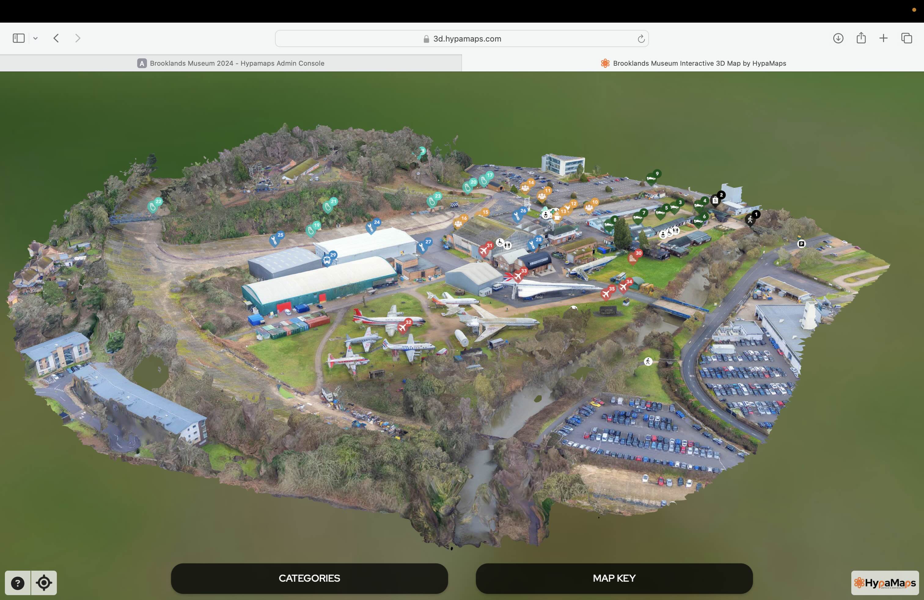
Interactive 3d Maps
Go to product

Service
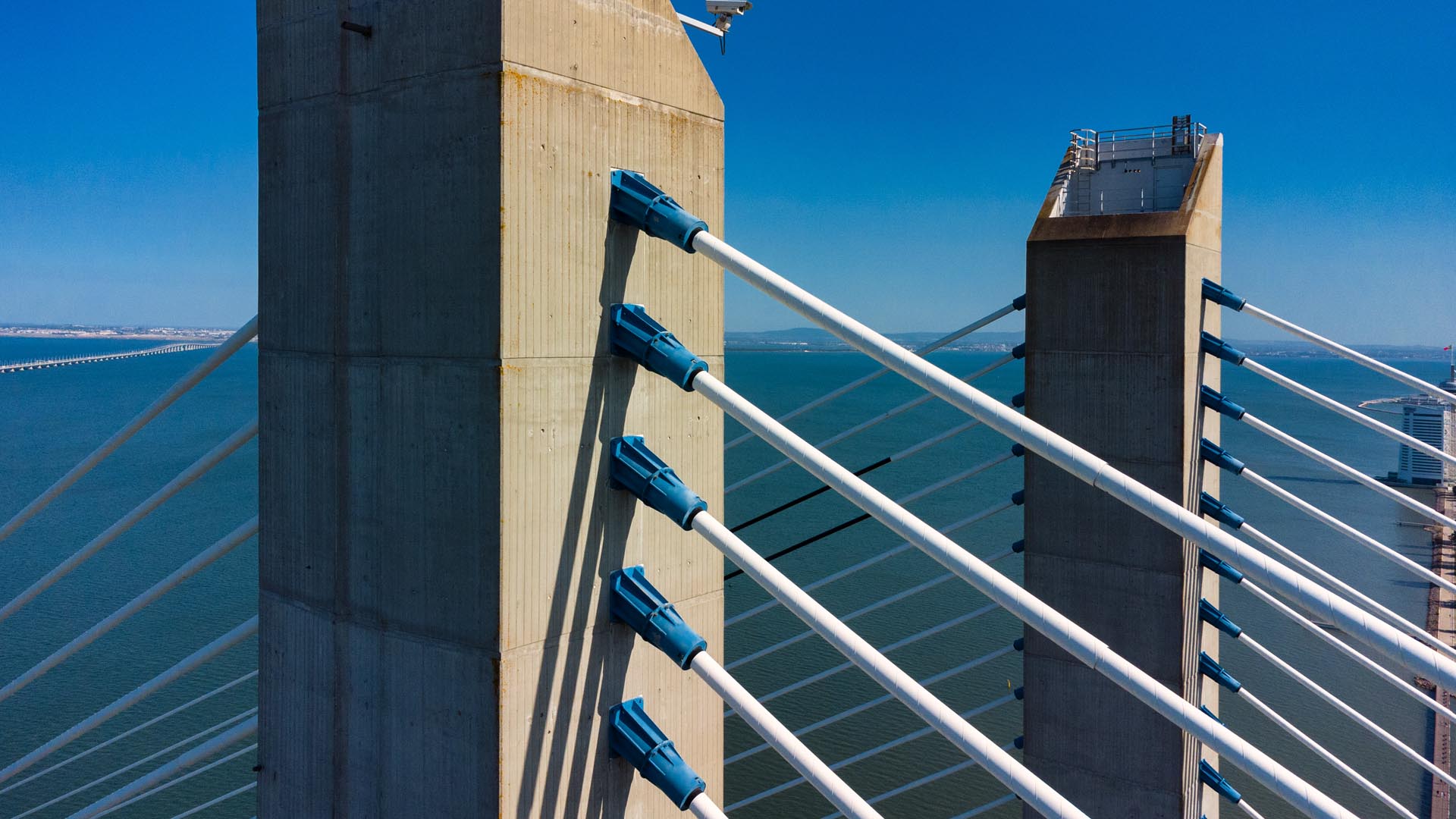
Aerial Drone Photography and Inspection
Go to product
A selection of suitable use cases for products or services provided by verified companies according to your search.

Use case
Aerial Video and Photography
Ortophotography, Aerial Mapping, Real Estate, Advertising, Marketing, Sports, Corporate Marketing, Construction
Serviços que podemos oferecer: Inspeções a estruturas e edifícios, telhados, instalações industriais, antenas de comunicação, cabos de alta tensão ou redes eléctricas suspensas. Mapeamento aéreo de terrenos, infraestruturas ou pontos de interesse. Ánalise detalhada de pequenas e grandes áreas com alto nível de resolução espacial. Captação de imagens aéreas para o sector dos transportes e mobilidade urbana. Estaleiros e infraestruturas navais, sistemas ferroviários e rodoviários. Imagens aéreas para o sector do turismo e hotelaria; hotéis, resorts turísticos, alojamentos locais, pontos de interesse turísticos ou eventos relacionados. Captação e cobertura de eventos relacionados com a arte e cultura; concertos ou festivais, arte urbana ou exposições interiores ou ao ar livre. Captação de imagens para eventos desportivos, promoção de eventos e associações desportivas ou infraestruturas relacionadas com o desporto.
The Drone Mapping industry in Japan presents a unique set of considerations for potential entrants and investors. Regulatory compliance is paramount, as Japan has strict aviation laws governed by the Japan Civil Aviation Bureau (JCAB). Understanding these regulations, particularly around airspace usage and privacy laws, is crucial for operating drones commercially. Additionally, the technology landscape is highly competitive, with numerous domestic and international players vying for market share. Environmental concerns also play a significant role, as sustainable practices are increasingly demanded by both consumers and regulatory bodies. The challenge of integrating drone technology into existing infrastructure and workflows must also be addressed, as traditional industries may be resistant to change. On the opportunity front, Japan's focus on technological innovation and infrastructure development, particularly in sectors like agriculture, construction, and disaster management, creates a fertile ground for drone mapping applications. The global market relevance is underscored by Japan's position as a leader in technology adoption, which may offer pathways for collaboration and export opportunities. In summary, navigating the regulatory framework, understanding environmental impacts, and recognizing the competitive landscape are essential for anyone interested in the Drone Mapping industry in Japan.
Some interesting numbers and facts about your company results for Drone Mapping
| Country with most fitting companies | Japan |
| Amount of fitting manufacturers | 7 |
| Amount of suitable service providers | 5 |
| Average amount of employees | 51-100 |
| Oldest suiting company | 1998 |
| Youngest suiting company | 2019 |
Some interesting questions that has been asked about the results you have just received for Drone Mapping
What are related technologies to Drone Mapping?
Based on our calculations related technologies to Drone Mapping are Big Data, E-Health, Retail Tech, Artificial Intelligence & Machine Learning, E-Commerce
Which industries are mostly working on Drone Mapping?
The most represented industries which are working in Drone Mapping are IT, Software and Services, Other, Automation, Aviation and Aerospace, Marketing Services
How does ensun find these Drone Mapping Companies?
ensun uses an advanced search and ranking system capable of sifting through millions of companies and hundreds of millions of products and services to identify suitable matches. This is achieved by leveraging cutting-edge technologies, including Artificial Intelligence.