The B2B platform for the best purchasing descision. Identify and compare relevant B2B manufacturers, suppliers and retailers
Close
Filter
Result configuration
Continents
Select continent
Locations
Result types
Company type
Select company type
Industries
Select industry
Company status
Select company status preset
Number of employees
Min.
Max.
Founding year

Uav Turkey - Drone Media Services
Bozcaada, Turkey
C
51-100 Employees
2015
Key takeaway
The company offers specialized drone mapping and modeling services using the DJI RTK Series, catering to various applications such as land surveying, agricultural analysis, and construction. Their experienced team and advanced equipment ensure high-quality results for diverse mapping needs.
Reference
Service
Drone Mapping Turkey - UAV TURKEY
We provide services in areas such as lands, agricultural areas, geological research, oil lines, regional analysis, mining, construction, building, base station.
UAS Engineering
Ataşehir, Turkey
C
1-10 Employees
2021
Key takeaway
UAS Engineering is a leading service provider and authorized dealer of unmanned aerial vehicles, offering specialized drone inspection services.
Reference
Core business
uas engineering
Enveko Teknoloji
Turkey
C
1-10 Employees
-
Key takeaway
The company specializes in developing custom products that streamline inspection tasks for various applications, including construction and energy fields. They offer 3D modeling and reconstruction solutions using images captured by UAVs, which are essential for creating digital twins for city planning and more.
Reference
Core business
Enveko Teknoloji
UAV and UGV focused autonomous control and vision solutions for all your mobile vision needs ranging from site inspection to agriculture.
Looking for more accurate results?
Find the right companies for free by entering your custom query!
25M+ companies
250M+ products
Free to use
XR Masters
Turkey
C
1-10 Employees
2015
Key takeaway
XR Masters integrates drone technology with augmented reality, allowing users to view real-world objects enhanced with holographic images and information. This innovative approach enriches spatial content experiences, making it particularly relevant for applications in mapping and visualization.
Reference
Service
Drone AR • VR Masters, LLC (DBA: XR Masters)
The combination of drone and AR technologies lets the user see not only the real objects as the drone sees them, but also additional holograhic images, text or marks over the real life objects.
Skyatlas
Turkey
C
11-50 Employees
2013
Key takeaway
The company is a prominent cloud service provider, offering a reliable and secure infrastructure through its SkyAtlas platform. Their services, including expert technical support and a user-friendly API, are crucial for businesses seeking efficient cloud management.
Reference
Service
Managed Services | SkyAtlas
Üçgen Harita Mühendislik ve Müşavirlik
Silivri, Turkey
C
1-10 Employees
2014
Key takeaway
The company specializes in drone technology to enhance project data through aerial photography, creating 3D models, orthophotos, and digital elevation maps. They offer tailored flight plans for agricultural monitoring, allowing for weekly observations of crop changes and analyses that help track productivity and assess damage.
Reference
Core business
Üçgen Harita Mühendislik Müşavirlik
Pilot Medya
Yenimahalle, Turkey
C
1-10 Employees
-
Key takeaway
Pilot Medya is a leading firm in the 360° live broadcasting and virtual tour sectors, utilizing advanced video technology to deliver high-quality productions. They offer professional filming services and specialize in cinematic virtual reality experiences, which may be relevant for applications in drone mapping.
Reference
Service
How To Fly Drone - Pilot Medya 360
The majority have suffered alteration in some form, by injected humor, words which don't look even slightly. Concerned with the development, improvement, and implementation of integrated system of people, money, knowledge, information, equipment, energy, materials, analysis and syn thesis, as well as the mathematical, physical and social sciences together with the principle and methods of
Ravinspect
Turkey
C
1-10 Employees
2018
Key takeaway
Inspector Stock offers fully autonomous stock counting drones for warehouses, utilizing robust processing algorithms to deliver precise results. Their technology enables efficient recognition of products, barcodes, and pallet types, streamlining operations like scheduled scans and targeted searches.
Reference
Core business
Ravinspect Tech – Unmanned Visualisation With Intelligence
Gen Drones
Turkey
C
11-50 Employees
2020
Key takeaway
Gen Drones offers Türkiye’s first agricultural drone system, enabling operations in areas inaccessible to humans and tractors. This innovative technology positions them at the forefront of the future of agriculture.
Reference
Core business
Gen Drones – Next-Gen Drones
Arventek Technology
Pendik, Turkey
C
1-10 Employees
2020
Key takeaway
Arventek is a construction technology company that enhances project management and accelerates infrastructure delivery through its RemoteSite platform. For those utilizing drone-based data collection, Arventek provides tools that improve progress tracking and data centralization, ultimately supporting profitability and scalability in asset-heavy industries.
Reference
Core business
Arventek – Gaze the Future from the Skies!
Technologies which have been searched by others and may be interesting for you:
A selection of suitable products and services provided by verified companies according to your search.

Service
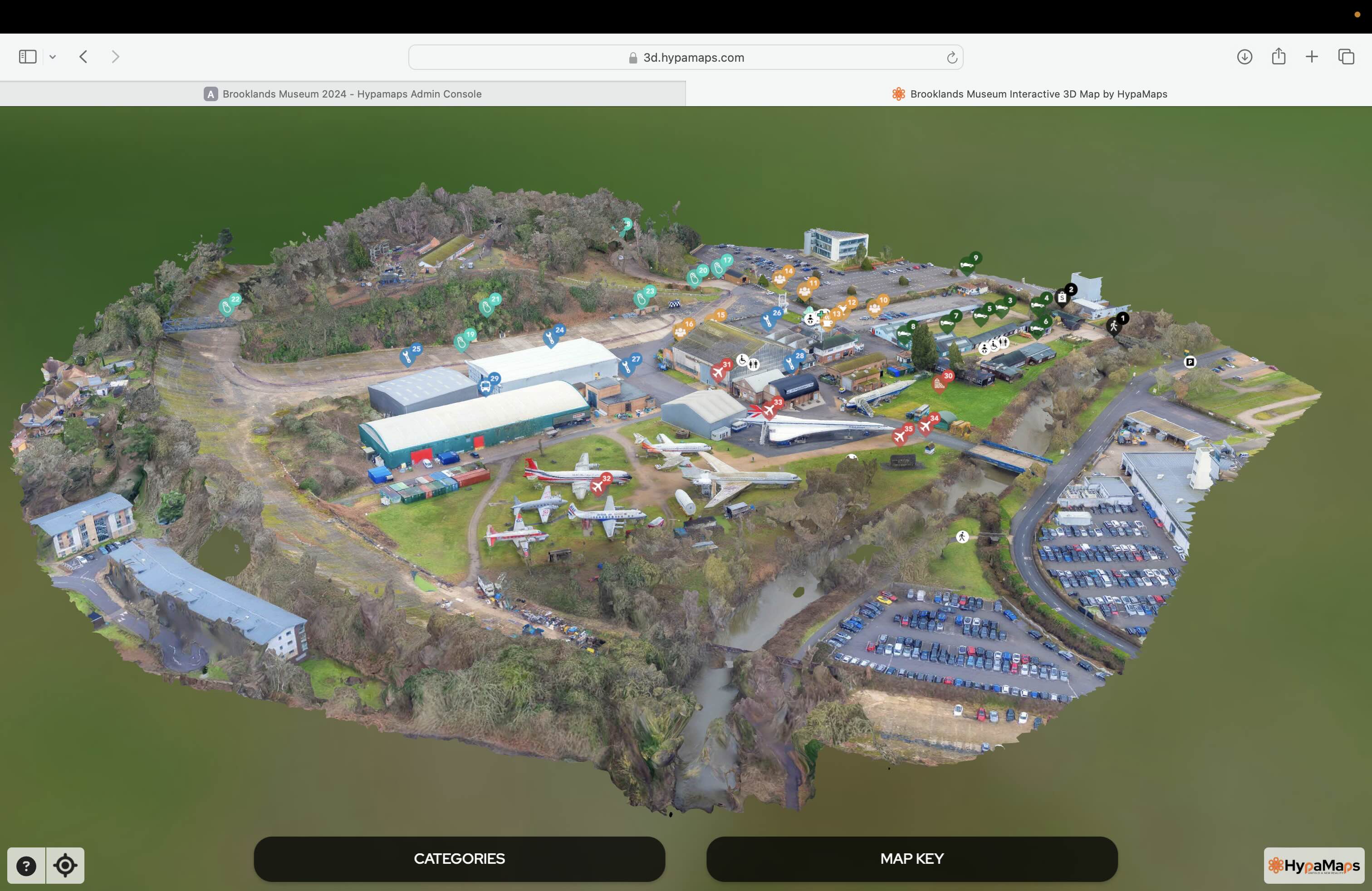
Interactive 3d Maps
Go to product

Service
Aerial Drone Photography and Inspection
Go to product
A selection of suitable use cases for products or services provided by verified companies according to your search.

Use case
Aerial Video and Photography
Ortophotography, Aerial Mapping, Real Estate, Advertising, Marketing, Sports, Corporate Marketing, Construction
Serviços que podemos oferecer: Inspeções a estruturas e edifícios, telhados, instalações industriais, antenas de comunicação, cabos de alta tensão ou redes eléctricas suspensas. Mapeamento aéreo de terrenos, infraestruturas ou pontos de interesse. Ánalise detalhada de pequenas e grandes áreas com alto nível de resolução espacial. Captação de imagens aéreas para o sector dos transportes e mobilidade urbana. Estaleiros e infraestruturas navais, sistemas ferroviários e rodoviários. Imagens aéreas para o sector do turismo e hotelaria; hotéis, resorts turísticos, alojamentos locais, pontos de interesse turísticos ou eventos relacionados. Captação e cobertura de eventos relacionados com a arte e cultura; concertos ou festivais, arte urbana ou exposições interiores ou ao ar livre. Captação de imagens para eventos desportivos, promoção de eventos e associações desportivas ou infraestruturas relacionadas com o desporto.
When exploring the Drone Mapping industry in Turkey, several key considerations are essential. Regulatory compliance is critical, as the Turkish government has established specific guidelines for drone operations, including licensing, airspace restrictions, and safety measures. Familiarity with these regulations is necessary to avoid legal issues. The competitive landscape is evolving, with both local and international companies operating in the market, which presents opportunities for innovation and collaboration. Challenges such as infrastructure limitations and varying levels of technological adoption across different regions can impact operations. Environmental concerns are also significant, as the use of drones in mapping can affect wildlife and natural habitats, necessitating responsible practices. The demand for drone mapping services is growing, driven by sectors like agriculture, construction, and urban planning, reflecting a global trend towards increased reliance on aerial data for decision-making. Understanding the local market needs and aligning services with industry demands can enhance a company's competitive edge. Furthermore, partnerships with local businesses and governmental agencies can facilitate smoother entry and expansion in this dynamic industry. Overall, thorough research and awareness of these factors will be crucial for success in Turkey's Drone Mapping sector.
Some interesting numbers and facts about your company results for Drone Mapping
| Country with most fitting companies | Turkey |
| Amount of fitting manufacturers | 41 |
| Amount of suitable service providers | 31 |
| Average amount of employees | 1-10 |
| Oldest suiting company | 2013 |
| Youngest suiting company | 2021 |
Some interesting questions that has been asked about the results you have just received for Drone Mapping
What are related technologies to Drone Mapping?
Based on our calculations related technologies to Drone Mapping are Big Data, E-Health, Retail Tech, Artificial Intelligence & Machine Learning, E-Commerce
Who are Start-Ups in the field of Drone Mapping?
Start-Ups who are working in Drone Mapping are UAS Engineering
Which industries are mostly working on Drone Mapping?
The most represented industries which are working in Drone Mapping are IT, Software and Services, Automation, Aviation and Aerospace, Architecture and Planning, Computer Hardware
How does ensun find these Drone Mapping Companies?
ensun uses an advanced search and ranking system capable of sifting through millions of companies and hundreds of millions of products and services to identify suitable matches. This is achieved by leveraging cutting-edge technologies, including Artificial Intelligence.