The B2B platform for the best purchasing descision. Identify and compare relevant B2B manufacturers, suppliers and retailers
Close
Filter
Result configuration
Continents
Select continent
Locations
Result types
Company type
Select company type
Industries
Select industry
Company status
Select company status preset
Number of employees
Min.
Max.
Founding year
Drone For Canada Inc.
Beaumont, Canada
A
1-10 Employees
2017
Key takeaway
Drone mapping is an innovative tool that enables quick and safe capture of high-resolution aerial views, ideal for inspections and site assessments. The company's use of both fixed-wing and multirotor UAVs, combined with advanced photogrammetry software, facilitates the creation of detailed orthophotos and digital elevation models, benefiting various applications like site design and safety planning.
Reference
Product
GEOSPATIAL - Drone For Canada
We use fixed wing and multirotor UAVs to acquire high resolution aerial images. This imagery is processed using advanced photogrammetry software to generate orthophotos, digital elevation models and panoramic images of a site. This type of imagery is commonly used for site design, health and ... Read More
GeoDrones
Even Yehuda, Israel
B
1-10 Employees
2015
Key takeaway
GeoDrones provides high-quality mapping services using advanced equipment and experienced remote pilots, ensuring they meet the needs of their customers effectively.
Reference
Service
Aerial Mapping | GeoDrones
National Drones
Scenic Rim Regional, Australia
A
11-50 Employees
2015
Key takeaway
National Drones offers advanced drone mapping software that enables high-resolution and accurate mapping and modeling, utilizing machine learning to enhance the quality of aerial data. This capability is particularly valuable for industries like telecommunications, mining, and infrastructure, facilitating faster inspections and improved compliance.
Reference
Core business
Drone Mapping Software - National Drones
High-resolution, accurate, mapping and modelling software backed by machine learning.
Looking for more accurate results?
Find the right companies for free by entering your custom query!
25M+ companies
250M+ products
Free to use
Earth Mappers LLC
Pleasant Grove, United States
B
1-10 Employees
2018
Key takeaway
Earth Mappers specializes in drone mapping, offering precise aerial surveys and mapping through RTK technology that ensures centimeter-level accuracy. Their expert pilots utilize high-resolution drones to deliver reliable and high-quality aerial data collection services for surveyors, civil engineers, and land developers.
Reference
Core business
Drone Companies in Utah | Earth Mappers
Earth Mappers Commercial Drone Services. Experienced pilots. Enterprise-level drones. Accururate aerial data. Optimize and enhance your surveying, engineering, and land development projects.
GeoCue Group
United States
B
11-50 Employees
2003
Key takeaway
GeoCue offers a comprehensive range of drone mapping solutions, including photogrammetry and LiDAR systems, supported by their advanced post-processing software, LP360. With extensive training options and dedicated support, GeoCue ensures customers can effectively integrate and maximize the benefits of drone mapping into their workflows.
Reference
Product
Drone Mapping Solutions | GeoCue
Propeller Aero
Sydney, Australia
A
101-250 Employees
2014
Key takeaway
Propeller specializes in drone mapping, offering a comprehensive 3D drone mapping software that enables users to quickly and accurately track, map, and measure worksites. Their expertise in GIS and photogrammetry, combined with dedicated support, empowers surveyors and project managers to adopt modern survey methods and enhance operational efficiency.
Reference
Core business
Drone Mapping Software | Propeller
Propeller's 3D drone mapping software is an end-to-end solution to quickly and accurately track, map, and measure your worksite.
UK Drone Services Ltd
United Kingdom
A
1-10 Employees
-
Key takeaway
UK Drone Services Ltd specializes in drone mapping and 3D modeling, offering detailed three-dimensional representations of projects. Their expertise ensures accurate and reliable mapping for various applications, including aerial inspections and virtual tours.
Reference
Core business
UK Drone Services Ltd, FPV Flythrough Tours & Aerial Surveys
UK Drone Services, Drone Photography, Aerial Inspections, Thermal Inspections, Drone Videography and Mapping Services
Maverick Drone Systems
Savage, United States
B
1-10 Employees
2014
Key takeaway
Maverick Drone Systems provides advanced drone mapping solutions through its Pix4Dcloud platform, which facilitates efficient land surveying, progress tracking, and site documentation.
Reference
Product
Pix4Dcloud – Maverick Drone Systems
Pix4Dcloud The online platform for drone mapping, progress tracking, and site documentation
Agrimapic
Holon, Israel
B
1-10 Employees
2015
Key takeaway
Agrimapic specializes in drone mapping through its advanced Photo Geometric Services, utilizing state-of-the-art autonomous drone systems to deliver high-resolution 2D and 3D images and models. Their technology, including the SkyMapper 1900 and ROBOMAPIC 680PRO, supports applications in agriculture, construction, and environmental conservation, providing valuable data to enhance crop yields and inform decision-making.
Reference
Core business
HOME | agrimapic
Desire RC Ltd
Verwood, United Kingdom
A
1-10 Employees
-
Key takeaway
SkyPan offers highly accurate topographic maps through advanced drone technology, enabling you to identify weak areas and optimize crop yield. Their professional aerial photography and mapping services are designed to enhance productivity in the agriculture industry.
Reference
Service
Mapping & Photogrammetry – Sky Pan
Technologies which have been searched by others and may be interesting for you:
A selection of suitable products and services provided by verified companies according to your search.

Service
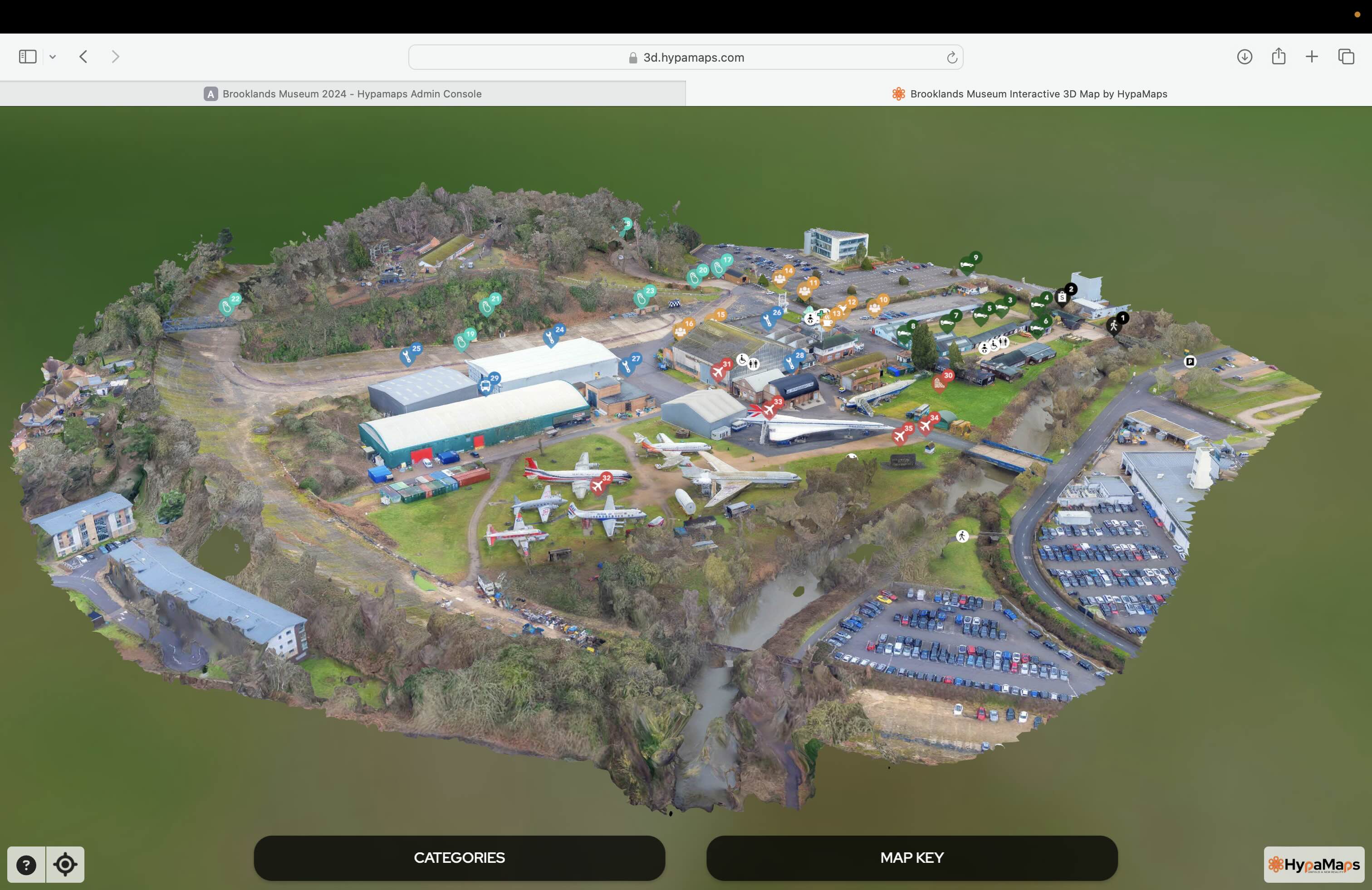
Interactive 3d Maps
Go to product

Service
Aerial Drone Photography and Inspection
Go to product
A selection of suitable use cases for products or services provided by verified companies according to your search.

Use case
Aerial Video and Photography
Ortophotography, Aerial Mapping, Real Estate, Advertising, Marketing, Sports, Corporate Marketing, Construction
Serviços que podemos oferecer: Inspeções a estruturas e edifícios, telhados, instalações industriais, antenas de comunicação, cabos de alta tensão ou redes eléctricas suspensas. Mapeamento aéreo de terrenos, infraestruturas ou pontos de interesse. Ánalise detalhada de pequenas e grandes áreas com alto nível de resolução espacial. Captação de imagens aéreas para o sector dos transportes e mobilidade urbana. Estaleiros e infraestruturas navais, sistemas ferroviários e rodoviários. Imagens aéreas para o sector do turismo e hotelaria; hotéis, resorts turísticos, alojamentos locais, pontos de interesse turísticos ou eventos relacionados. Captação e cobertura de eventos relacionados com a arte e cultura; concertos ou festivais, arte urbana ou exposições interiores ou ao ar livre. Captação de imagens para eventos desportivos, promoção de eventos e associações desportivas ou infraestruturas relacionadas com o desporto.
Drone mapping refers to the use of unmanned aerial vehicles (UAVs) equipped with high-resolution cameras and sensors to capture aerial images and data of a specific area. These drones are capable of flying over large terrains, collecting geospatial information that is then processed into detailed maps and 3D models. This technology is widely utilized in various industries such as agriculture, construction, and environmental monitoring. By leveraging drone mapping, businesses can achieve enhanced accuracy in surveying and data collection, significantly reducing time and costs associated with traditional mapping methods. The resulting maps are invaluable for analysis, project planning, and decision-making processes.
Drone mapping utilizes unmanned aerial vehicles (UAVs) equipped with specialized cameras and sensors to capture high-resolution images and data of a specific area. The process begins with planning the flight path, ensuring that the drone covers the entire area of interest. During the flight, the drone collects images from different angles and perspectives, which are then processed using photogrammetry software to create detailed maps and 3D models. After the data collection, the images are stitched together through advanced algorithms, resulting in an accurate representation of the terrain. This technology is widely used in various industries, including construction, agriculture, and environmental monitoring, due to its efficiency and precision in capturing spatial data. By employing advanced GPS technology and real-time data processing, drone mapping significantly enhances traditional mapping methods.
1. Enhanced Accuracy
Drone mapping provides high-resolution aerial imagery and precise data collection. This technology allows for accurate measurements and detailed topographical maps, improving decision-making across various industries.
2. Cost Efficiency
Utilizing drones for mapping reduces the time and costs associated with traditional surveying methods. With quicker data acquisition and less manpower required, companies can save both time and resources while increasing productivity.
3. Access to Difficult Areas
Drones can easily reach and map hard-to-access locations, such as rugged terrains or construction sites. This capability ensures that no area is overlooked, providing comprehensive data collection for various projects.
4. Real-Time Data Collection
The ability to collect and process data in real-time allows for immediate analysis and adjustments. This feature is particularly beneficial in sectors like agriculture and construction, where timely information is crucial for success.
1. Agriculture
Drone mapping can significantly enhance precision agriculture by providing farmers with detailed aerial imagery. This technology enables crop monitoring, soil analysis, and effective irrigation planning, which can lead to improved yields and resource management.
2. Construction
In the construction industry, drone mapping aids in site surveying and monitoring project progress. The ability to create accurate topographical maps and 3D models allows for better planning, budgeting, and execution of construction projects.
3. Environmental Monitoring
Environmental scientists benefit from drone mapping for habitat assessment and natural resource management. Drones can capture data over large areas, helping in monitoring wildlife, deforestation, and the impact of climate change.
4. Real Estate
Real estate professionals utilize drone mapping to create compelling visuals for property listings. High-resolution aerial images and 3D models provide potential buyers with a comprehensive view of properties and their surroundings.
5. Mining
In mining, drone mapping is essential for site evaluation and resource management. It allows companies to conduct volumetric analysis and track changes in the landscape over time, enhancing operational efficiency and safety.
Drone mapping utilizes a variety of advanced technologies to capture and process geographical data. GPS (Global Positioning System) is essential for precise location tracking, allowing drones to navigate accurately and gather data over large areas. Photogrammetry plays a crucial role in transforming aerial images into 3D models and maps. This technique involves taking multiple overlapping photographs from different angles, which software then analyzes to create detailed terrain models. Additionally, LiDAR (Light Detection and Ranging) technology is frequently employed for highly accurate elevation data, using laser pulses to measure distances and generate precise topographical maps. Together, these technologies enable efficient and detailed mapping solutions for various applications.
Some interesting numbers and facts about your company results for Drone Mapping
| Country with most fitting companies | United States |
| Amount of fitting manufacturers | 7790 |
| Amount of suitable service providers | 8043 |
| Average amount of employees | 1-10 |
| Oldest suiting company | 2003 |
| Youngest suiting company | 2018 |
20%
40%
60%
80%
Some interesting questions that has been asked about the results you have just received for Drone Mapping
What are related technologies to Drone Mapping?
Based on our calculations related technologies to Drone Mapping are Big Data, E-Health, Retail Tech, Artificial Intelligence & Machine Learning, E-Commerce
Which industries are mostly working on Drone Mapping?
The most represented industries which are working in Drone Mapping are IT, Software and Services, Other, Aviation and Aerospace, Construction, Marketing Services
How does ensun find these Drone Mapping Companies?
ensun uses an advanced search and ranking system capable of sifting through millions of companies and hundreds of millions of products and services to identify suitable matches. This is achieved by leveraging cutting-edge technologies, including Artificial Intelligence.